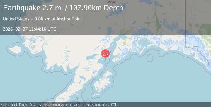
Earthquake 59 km W of Anchor Point, Alaska
Sat, 07 Feb 2026 11:44:17 GMT
Time1 hour ago
Location
59.7930, -152.8990
Depth
105.8 KM
Event Summary
A 2.7 magnitude earthquake struck on 59 km W of Anchor Point, Alaska, at Sat, 07 Feb 2026 11:44:17 GMT. Depth: 105.8km. Reviewed by USGS seismologists, this minor quake occurred at a magnitude type of ml.
Magnitude
2.7
ml
Source
USGS
Intensity
-
Agency Reports
2 Sources| Source | Magnitude | Depth | Time |
|---|---|---|---|
| USGSPrimary | 2.7 | 106 km | 1 hour ago |
| NEIC | 2.7 | 108 km | 1 hour ago |
Earthquake Details
AutomaticEvent IDusgs_ak2026cqvfmc
Tsunami PotentialNo
Magnitude Typeml
Nearest Places
- Chinitna Bay6.3 km
- Mount Chinitna6.8 km
- Gull Island7.3 km
- Sea Otter Point8.2 km
- South Chinitna Mountain8.9 km
Comments
Join the discussion about this event.
Latest Earthquakes
1.3Mag
20 km N of Indio, CA
Time16 minutes ago
Depth2.19 km
SourceUSGS (Automatic)
3.1Mag
Minahassa Peninsula, Sulawesi
Time20 minutes ago
Depth10.00 km
SourceBMKG (Automatic)
2.6Mag
COSTA RICA
Time25 minutes ago
Depth52.00 km
SourceUNA (Automatic)
2.3Mag
Java, Indonesia
Time30 minutes ago
Depth34.21 km
SourceBMKG (Automatic)
1.7Mag
56 km S of Whites City, New Mexico
Time31 minutes ago
Depth3.51 km
SourceUSGS (Automatic)
Nearby Earthquakes
2.6Mag
59 km W of Anchor Point, Alaska
Time1 week ago
Depth84.90 km
SourceUSGS (Automatic)
2.2Mag
61 km W of Anchor Point, Alaska
Time1 week ago
Depth97.80 km
SourceUSGS (Automatic)
2.4Mag
62 km E of Pedro Bay, Alaska
Time1 week ago
Depth109.10 km
SourceUSGS (Automatic)
2.2Mag
61 km E of Pedro Bay, Alaska
Time6 days ago
Depth102.90 km
SourceUSGS (Automatic)
1.9Mag
57 km E of Pedro Bay, Alaska
Time1 week ago
Depth116.30 km
SourceUSGS (Automatic)