Earthquake 4 km ESE of San Ramon, CA
Sun, 08 Feb 2026 14:16:17 GMT
Time1 hour ago
Location
37.7642, -121.9335
Depth
2.6 KM
Event Summary
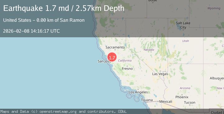
A 1.7 magnitude earthquake struck on 4 km ESE of San Ramon, CA, at Sun, 08 Feb 2026 14:16:17 GMT. Depth: 2.5699999332428km. Reviewed by USGS seismologists, this minor quake occurred at a magnitude type of md.
Magnitude
1.7
md
Source
USGS
Intensity
-
Agency Reports
1 Sources| Source | Magnitude | Depth | Time |
|---|---|---|---|
| USGSPrimary | 1.7 | 3 km | 1 hour ago |
Earthquake Details
AutomaticEvent IDusgs_nc75310632
Tsunami PotentialNo
Magnitude Typemd
Nearest Places
- City of San Ramon0.3 km
- Canyon Lakes Golf Course0.9 km
- San Ramon Village Shopping Center1.3 km
- Oakwood San Ramon1.3 km
- Coyote Creek1.5 km
Comments
Join the discussion about this event.
Latest Earthquakes
2.0Mag
Sumba Region, Indonesia
Time9 minutes ago
Depth14.65 km
SourceBMKG (Automatic)
1.1Mag
NORTHERN ITALY
Time9 minutes ago
Depth0.00 km
SourceOGS (Automatic)
1.7Mag
36 km NW of Toyah, Texas
Time10 minutes ago
Depth7.83 km
SourceUSGS (Automatic)
3.0Mag
SOUTH OF ALASKA
Time10 minutes ago
Depth5.00 km
SourceAK (Automatic)
2.0Mag
Sumbawa Region, Indonesia
Time12 minutes ago
Depth21.24 km
SourceBMKG (Automatic)
Nearby Earthquakes
2.2Mag
SAN FRANCISCO BAY AREA, CALIF.
Time3 days ago
Depth3.70 km
SourceNC (Automatic)
1.8Mag
4 km ESE of San Ramon, CA
Time5 days ago
Depth6.84 km
SourceUSGS (Automatic)
2.5Mag
4 km ESE of San Ramon, CA
Time5 days ago
Depth6.42 km
SourceUSGS (Automatic)
1.4Mag
5 km ESE of San Ramon, CA
Time1 week ago
Depth5.98 km
SourceUSGS (Automatic)
1.8Mag
4 km ESE of San Ramon, CA
Time3 days ago
Depth4.41 km
SourceUSGS (Automatic)