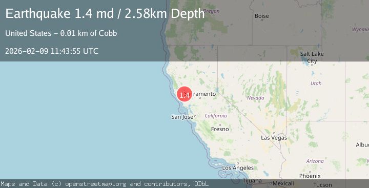
Earthquake 3 km SW of Anderson Springs, CA
Mon, 09 Feb 2026 11:33:24 GMT
Time4 hours ago
Location
38.7573, -122.7128
Depth
2.0 KM
Event Summary
A 1.4 magnitude earthquake struck on 3 km SW of Anderson Springs, CA, at Mon, 09 Feb 2026 11:33:24 GMT. Depth: 2.00999999046326km. Reviewed by USGS seismologists, this minor quake occurred at a magnitude type of md.
Magnitude
1.4
md
Source
USGS
Intensity
-
Agency Reports
1 Sources| Source | Magnitude | Depth | Time |
|---|---|---|---|
| USGSPrimary | 1.4 | 3 km | 4 hours ago |
Earthquake Details
AutomaticEvent IDusgs_nc75311237
Tsunami PotentialNo
Magnitude Typemd
Nearest Places
- Big Injun Mine0.6 km
- Thorne Mine1.1 km
- Wardlow Rock1.2 km
- Castle Rock Springs1.5 km
- Big Chief Mine1.7 km
Comments
Join the discussion about this event.
Latest Earthquakes
2.1Mag
Flores Sea
Time14 minutes ago
Depth36.89 km
SourceBMKG (Automatic)
2.8Mag
ICELAND REGION
Time17 minutes ago
Depth6.30 km
SourceIMO (Automatic)
2.6Mag
Northern Molucca Sea
Time17 minutes ago
Depth10.59 km
SourceBMKG (Automatic)
1.3Mag
30 km ESE of Denali Park, Alaska
Time18 minutes ago
Depth7.20 km
SourceUSGS (Automatic)
3.4Mag
OFF E. COAST OF S. ISLAND, N.Z.
Time24 minutes ago
Depth10.00 km
SourceGNS (Automatic)
Nearby Earthquakes
1.1Mag
3 km SW of Anderson Springs, CA
Time2 weeks ago
Depth1.94 km
SourceUSGS (Automatic)
1.5Mag
3 km WSW of Anderson Springs, CA
Time2 weeks ago
Depth1.01 km
SourceUSGS (Automatic)
1.4Mag
3 km SE of The Geysers, CA
Time1 week ago
Depth2.14 km
SourceUSGS (Automatic)
1.5Mag
3 km SE of The Geysers, CA
Time1 week ago
Depth1.65 km
SourceUSGS (Automatic)
1.0Mag
2 km W of Anderson Springs, CA
Time3 days ago
Depth1.86 km
SourceUSGS (Automatic)