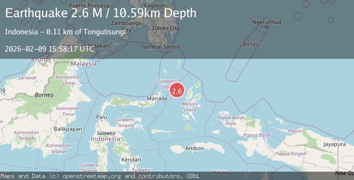
Earthquake Northern Molucca Sea
Mon, 09 Feb 2026 15:58:28 GMT
Time1 hour ago
Location
2.1566, 126.1673
Depth
39.8 KM
Event Summary
A 2.4 magnitude earthquake struck on Northern Molucca Sea, at Mon, 09 Feb 2026 15:58:28 GMT. Depth: 39.780777km. Reviewed by BMKG seismologists, this minor quake occurred at a magnitude type of M.
Magnitude
2.4
M
Source
BMKG
Intensity
-
Agency Reports
1 Sources| Source | Magnitude | Depth | Time |
|---|---|---|---|
| BMKGPrimary | 2.4 | 40 km | 1 hour ago |
Earthquake Details
AutomaticEvent IDbmg2026cumg
Tsunami PotentialNo
Magnitude TypeM
Nearest Places
- Tonggeng Manandu80.8 km
- Tonggeng Tuwoliang80.9 km
- Teluk Buha81.0 km
- Saluhi Sikola81.2 km
- Teluk Kiama81.3 km
Comments
Join the discussion about this event.
Latest Earthquakes
1.3Mag
30 km ESE of Denali Park, Alaska
Time1 hour ago
Depth7.20 km
SourceUSGS (Automatic)
3.4Mag
OFF E. COAST OF S. ISLAND, N.Z.
Time1 hour ago
Depth10.00 km
SourceGNS (Automatic)
3.8Mag
South of Java, Indonesia
Time1 hour ago
Depth10.00 km
SourceBMKG (Automatic)
3.3Mag
Near North Coast of West Papua
Time1 hour ago
Depth10.00 km
SourceBMKG (Automatic)
2.2Mag
Sulawesi, Indonesia
Time1 hour ago
Depth5.00 km
SourceBMKG (Automatic)
Nearby Earthquakes
2.9Mag
Talaud Islands, Indonesia
Time1 week ago
Depth40.31 km
SourceBMKG (Automatic)
2.6Mag
Northern Molucca Sea
Time6 days ago
Depth29.83 km
SourceBMKG (Automatic)
3.2Mag
Northern Molucca Sea
Time1 week ago
Depth42.68 km
SourceBMKG (Automatic)
5.0Mag
Northern Molucca Sea
Time9 hours ago
Depth3.90 km
SourceBMKG (Automatic)
3.4Mag
Northern Molucca Sea
Time10 hours ago
Depth10.95 km
SourceBMKG (Automatic)