Earthquake 4 km SW of Tahoe Vista, CA
Mon, 09 Feb 2026 21:55:37 GMT
Time3 hours ago
Location
39.2163, -120.0783
Depth
3.9 KM
Event Summary
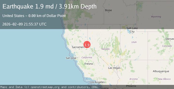
A 1.9 magnitude earthquake struck on 4 km SW of Tahoe Vista, CA, at Mon, 09 Feb 2026 21:55:37 GMT. Depth: 3.91000008583069km. Reviewed by USGS seismologists, this minor quake occurred at a magnitude type of md.
Magnitude
1.9
md
Source
USGS
Intensity
-
Agency Reports
1 Sources| Source | Magnitude | Depth | Time |
|---|---|---|---|
| USGSPrimary | 1.9 | 4 km | 3 hours ago |
Earthquake Details
AutomaticEvent IDusgs_nc75311447
Tsunami PotentialNo
Magnitude Typemd
Nearest Places
- Carnelian Bay0.6 km
- Watson Creek0.7 km
- Carnelian Canyon1.2 km
- Carnelian Bay Post Office (historical)1.2 km
- Carnelian Bay1.2 km
Comments
Join the discussion about this event.
Latest Earthquakes
3.2Mag
OFFSHORE COQUIMBO, CHILE
Time6 minutes ago
Depth23.90 km
SourceCSN (Automatic)
3.9Mag
West Papua Region, Indonesia
Time7 minutes ago
Depth20.40 km
SourceBMKG (Automatic)
3.3Mag
NORTH ISLAND OF NEW ZEALAND
Time18 minutes ago
Depth17.00 km
SourceGNS (Automatic)
4.5Mag
MORO GULF, MINDANAO, PHILIPPINES
Time18 minutes ago
Depth35.00 km
SourcePIVS (Automatic)
4.6Mag
Mindanao, Philippines
Time19 minutes ago
Depth10.00 km
SourceBMKG (Automatic)
Nearby Earthquakes
2.8Mag
NORTHERN CALIFORNIA
Time3 days ago
Depth-1.30 km
SourceNC (Automatic)
1.9Mag
10 km NNE of Fish Springs, Nevada
Time1 week ago
Depth14.40 km
SourceUSGS (Automatic)
1.5Mag
16 km NW of Stagecoach, Nevada
Time2 days ago
Depth2.28 km
SourceUSGS (Automatic)
2.4Mag
NORTHERN CALIFORNIA
Time5 days ago
Depth27.00 km
SourceNC (Automatic)
3.0Mag
20 km NNE of Yerington, Nevada
Time2 weeks ago
Depth6.69 km
SourceUSGS