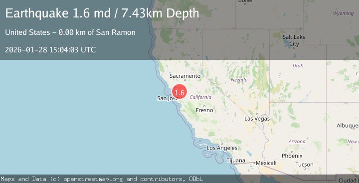
Earthquake 3 km ESE of San Ramon, CA
Wed, 28 Jan 2026 15:04:03 GMT
Time3 hours ago
Location
37.7732, -121.9503
Depth
7.4 KM
Event Summary
A 1.6 magnitude earthquake struck on 3 km ESE of San Ramon, CA, at Wed, 28 Jan 2026 15:04:03 GMT. Depth: 7.42999982833862km. Reviewed by USGS seismologists, this minor quake occurred at a magnitude type of md.
Magnitude
1.6
md
Source
USGS
Intensity
-
Agency Reports
1 Sources| Source | Magnitude | Depth | Time |
|---|---|---|---|
| USGSPrimary | 1.6 | 7 km | 3 hours ago |
Earthquake Details
AutomaticEvent IDusgs_nc75303161
Tsunami PotentialNo
Magnitude Typemd
Nearest Places
Comments
Join the discussion about this event.
Latest Earthquakes
3.8Mag
SALTA, ARGENTINA
Time15 minutes ago
Depth204.00 km
SourceNSNA (Automatic)
4.1Mag
Talaud Islands, Indonesia
Time19 minutes ago
Depth75.38 km
SourceBMKG (Automatic)
3.0Mag
TARAPACA, CHILE
Time27 minutes ago
Depth101.30 km
SourceCSN (Automatic)
3.2Mag
ATACAMA, CHILE
Time41 minutes ago
Depth116.70 km
SourceCSN (Automatic)
3.3Mag
MORO GULF, MINDANAO, PHILIPPINES
Time47 minutes ago
Depth6.00 km
SourcePIVS (Automatic)
Nearby Earthquakes
1.6Mag
3 km ESE of San Ramon, CA
Time4 days ago
Depth7.67 km
SourceUSGS (Automatic)
1.3Mag
4 km SE of San Ramon, CA
Time8 hours ago
Depth1.02 km
SourceUSGS (Automatic)
1.9Mag
4 km SE of San Ramon, CA
Time5 days ago
Depth8.30 km
SourceUSGS (Automatic)
1.3Mag
1 km NW of Danville, CA
Time2 days ago
Depth4.39 km
SourceUSGS (Automatic)
1.8Mag
6 km SSW of Livermore, CA
Time2 days ago
Depth9.32 km
SourceUSGS (Automatic)