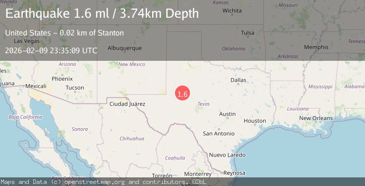
Earthquake 16 km E of Stanton, Texas
Mon, 09 Feb 2026 23:35:09 GMT
Time1 hour ago
Location
32.1360, -101.6180
Depth
3.7 KM
Event Summary
A 1.6 magnitude earthquake struck on 16 km E of Stanton, Texas, at Mon, 09 Feb 2026 23:35:09 GMT. Depth: 3.7357km. Reviewed by USGS seismologists, this minor quake occurred at a magnitude type of ml.
Magnitude
1.6
ml
Source
USGS
Intensity
-
Agency Reports
1 Sources| Source | Magnitude | Depth | Time |
|---|---|---|---|
| USGSPrimary | 1.6 | 4 km | 1 hour ago |
Earthquake Details
AutomaticEvent IDusgs_tx2026cvkczl
Tsunami PotentialNo
Magnitude Typeml
Nearest Places
- Roberts Lake0.4 km
- Lomax3.0 km
- Elbow Creek3.7 km
- Windmill Number Three4.8 km
- Morita5.6 km
Comments
Join the discussion about this event.
Latest Earthquakes
3.3Mag
NORTH ISLAND OF NEW ZEALAND
Time2 minutes ago
Depth17.00 km
SourceGNS (Automatic)
2.6Mag
Java, Indonesia
Time23 minutes ago
Depth22.70 km
SourceBMKG (Automatic)
2.5Mag
OFFSHORE ANTOFAGASTA, CHILE
Time29 minutes ago
Depth67.00 km
SourceCSN (Automatic)
2.1Mag
Timor Region
Time29 minutes ago
Depth81.63 km
SourceBMKG (Automatic)
4.0Mag
OFFSHORE CHIAPAS, MEXICO
Time30 minutes ago
Depth90.80 km
SourceUNM (Automatic)
Nearby Earthquakes
2.3Mag
WESTERN TEXAS
Time1 day ago
Depth3.80 km
SourceTX (Automatic)
1.2Mag
17 km ESE of Stanton, Texas
Time21 hours ago
Depth2.23 km
SourceUSGS (Automatic)
1.1Mag
9 km ENE of Stanton, Texas
Time1 week ago
Depth3.75 km
SourceUSGS (Automatic)
1.5Mag
11 km W of Forsan, Texas
Time1 week ago
Depth3.53 km
SourceUSGS (Automatic)
1.5Mag
11 km W of Forsan, Texas
Time1 week ago
Depth2.97 km
SourceUSGS (Automatic)