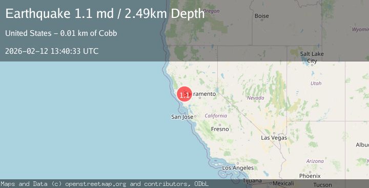
Earthquake 7 km NW of The Geysers, CA
Thu, 12 Feb 2026 13:40:33 GMT
Time5 days ago
Location
38.8233, -122.8027
Depth
2.5 KM
Event Summary
A 1.1 magnitude earthquake struck on 7 km NW of The Geysers, CA, at Thu, 12 Feb 2026 13:40:33 GMT. Depth: 2.49000000953674km. Reviewed by USGS seismologists, this minor quake occurred at a magnitude type of md.
Magnitude
1.1
md
Source
USGS
Intensity
-
Agency Reports
1 Sources| Source | Magnitude | Depth | Time |
|---|---|---|---|
| USGSPrimary | 1.1 | 2 km | 5 days ago |
Earthquake Details
AutomaticEvent IDusgs_nc75312677
Tsunami PotentialNo
Magnitude Typemd
Nearest Places
- Bear Canyon1.2 km
- Coldwater Canyon2.2 km
- Caldwell Pines2.5 km
- Geyser Canyon2.6 km
- Black Oaks2.7 km
Comments
Join the discussion about this event.
Latest Earthquakes
2.8Mag
Sulawesi, Indonesia
Time1 minute ago
Depth21.08 km
SourceBMKG
2.1Mag
WESTERN TURKEY
Time5 minutes ago
Depth12.30 km
SourceKOERI (Automatic)
2.2Mag
Alaska Peninsula
Time6 minutes ago
Depth57.74 km
SourceVYT (Automatic)
3.7Mag
WESTERN TURKEY
Time8 minutes ago
Depth13.30 km
SourceKOERI (Automatic)
1.6Mag
27 km ESE of Balmorhea, Texas
Time9 minutes ago
Depth3.56 km
SourceUSGS (Automatic)
Nearby Earthquakes
1.2Mag
7 km NW of The Geysers, CA
Time1 week ago
Depth2.37 km
SourceUSGS (Automatic)
1.1Mag
6 km NW of The Geysers, CA
Time5 days ago
Depth2.79 km
SourceUSGS (Automatic)
0.8Mag
7 km NW of The Geysers, CA
Time4 days ago
Depth2.51 km
SourceUSGS (Automatic)
1.1Mag
7 km NW of The Geysers, CA
Time1 day ago
Depth2.38 km
SourceUSGS (Automatic)
1.8Mag
7 km NW of The Geysers, CA
Time1 week ago
Depth2.36 km
SourceUSGS (Automatic)