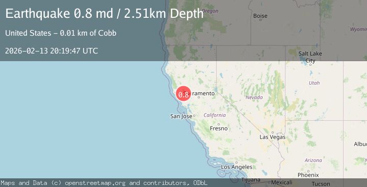
Earthquake 7 km NW of The Geysers, CA
Fri, 13 Feb 2026 20:19:47 GMT
Time4 days ago
Location
38.8245, -122.8035
Depth
2.5 KM
Event Summary
A 0.8 magnitude earthquake struck on 7 km NW of The Geysers, CA, at Fri, 13 Feb 2026 20:19:47 GMT. Depth: 2.50999999046326km. Reviewed by USGS seismologists, this minor quake occurred at a magnitude type of md.
Magnitude
0.8
md
Source
USGS
Intensity
-
Agency Reports
1 Sources| Source | Magnitude | Depth | Time |
|---|---|---|---|
| USGSPrimary | 0.8 | 3 km | 4 days ago |
Earthquake Details
AutomaticEvent IDusgs_nc75313317
Tsunami PotentialNo
Magnitude Typemd
Nearest Places
- Bear Canyon1.1 km
- Coldwater Canyon2.1 km
- Caldwell Pines2.4 km
- Black Oaks2.6 km
- Geyser Canyon2.8 km
Comments
Join the discussion about this event.
Latest Earthquakes
2.2Mag
Seram, Indonesia
Time8 hours ago
Depth19.61 km
SourceBMKG
2.2Mag
Sweden
Time8 hours ago
Depth0.00 km
SourceVYT (Automatic)
1.5Mag
Southeastern Alaska
Time8 hours ago
Depth0.00 km
SourceVYT (Automatic)
1.6Mag
5 km NNW of Boron, CA
Time9 hours ago
Depth-0.63 km
SourceUSGS (Automatic)
2.3Mag
Ceram Sea
Time9 hours ago
Depth10.00 km
SourceBMKG
Nearby Earthquakes
1.8Mag
7 km NW of The Geysers, CA
Time1 week ago
Depth2.36 km
SourceUSGS (Automatic)
1.1Mag
7 km NW of The Geysers, CA
Time1 day ago
Depth2.38 km
SourceUSGS (Automatic)
0.7Mag
7 km NW of The Geysers, CA
Time2 days ago
Depth2.34 km
SourceUSGS (Automatic)
2.2Mag
NORTHERN CALIFORNIA
Time1 month ago
Depth1.60 km
SourceNC (Automatic)
1.1Mag
7 km NW of The Geysers, CA
Time5 days ago
Depth2.49 km
SourceUSGS (Automatic)