Earthquake 8 km WNW of The Geysers, CA
Sat, 14 Feb 2026 00:44:52 GMT
Time5 days ago
Location
38.8138, -122.8420
Depth
0.5 KM
Event Summary
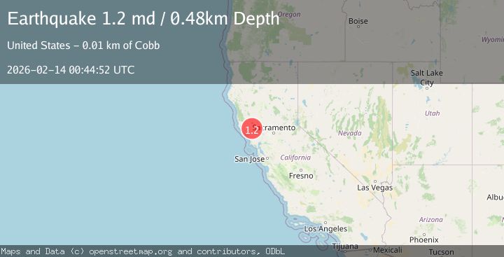
A 1.2 magnitude earthquake struck on 8 km WNW of The Geysers, CA, at Sat, 14 Feb 2026 00:44:52 GMT. Depth: 0.479999989271164km. Reviewed by USGS seismologists, this minor quake occurred at a magnitude type of md.
Magnitude
1.2
md
Source
USGS
Intensity
-
Agency Reports
1 Sources| Source | Magnitude | Depth | Time |
|---|---|---|---|
| USGSPrimary | 1.2 | 0 km | 5 days ago |
Earthquake Details
AutomaticEvent IDusgs_nc75313482
Tsunami PotentialNo
Magnitude Typemd
Nearest Places
- Adit Number One-One Hundred Twenty0.8 km
- Eagle Rock0.9 km
- Adit Number One1.0 km
- Truitt Creek1.2 km
- Adit Number Two1.5 km
Comments
Join the discussion about this event.
Latest Earthquakes
1.9Mag
Poland
Time13 minutes ago
Depth10.01 km
SourceVYT (Automatic)
1.6Mag
10 km W of Pine Valley, CA
Time21 minutes ago
Depth16.88 km
SourceUSGS (Automatic)
2.4Mag
West Papua Region, Indonesia
Time21 minutes ago
Depth10.00 km
SourceBMKG
4.5Mag
Tarapaca, Chile
Time26 minutes ago
Depth128.42 km
SourceVYT (Automatic)
2.3Mag
PUERTO RICO
Time32 minutes ago
Depth15.50 km
SourcePR (Automatic)
Nearby Earthquakes
1.0Mag
8 km WNW of The Geysers, CA
Time2 hours ago
Depth0.69 km
SourceUSGS (Automatic)
1.1Mag
8 km WNW of The Geysers, CA
Time6 days ago
Depth0.89 km
SourceUSGS (Automatic)
2.0Mag
8 km WNW of The Geysers, CA
Time1 week ago
Depth0.67 km
SourceUSGS (Automatic)
3.0Mag
NORTHERN CALIFORNIA
Time9 years ago
Depth2.00 km
SourceNC (Automatic)
2.2Mag
NORTHERN CALIFORNIA
Time1 month ago
Depth2.20 km
SourceNC (Automatic)