Earthquake 8 km WNW of The Geysers, CA
Fri, 13 Feb 2026 03:01:23 GMT
Time6 days ago
Location
38.8153, -122.8410
Depth
0.9 KM
Event Summary
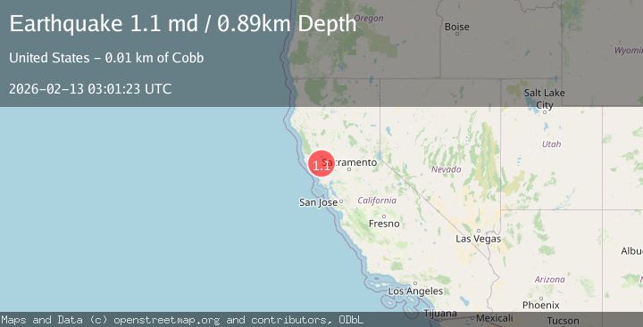
A 1.1 magnitude earthquake struck on 8 km WNW of The Geysers, CA, at Fri, 13 Feb 2026 03:01:23 GMT. Depth: 0.889999985694885km. Reviewed by USGS seismologists, this minor quake occurred at a magnitude type of md.
Magnitude
1.1
md
Source
USGS
Intensity
-
Agency Reports
1 Sources| Source | Magnitude | Depth | Time |
|---|---|---|---|
| USGSPrimary | 1.1 | 1 km | 6 days ago |
Earthquake Details
AutomaticEvent IDusgs_nc75313032
Tsunami PotentialNo
Magnitude Typemd
Nearest Places
- Adit Number One-One Hundred Twenty1.0 km
- Eagle Rock1.1 km
- Adit Number One1.2 km
- Truitt Creek1.3 km
- Adit Number Two1.6 km
Comments
Join the discussion about this event.
Latest Earthquakes
4.2Mag
Fox Islands, Aleutian Islands, Alaska
Time8 hours ago
Depth0.00 km
SourceVYT (Automatic)
1.8Mag
Sweden
Time8 hours ago
Depth0.00 km
SourceVYT (Automatic)
2.0Mag
Bali Region, Indonesia
Time8 hours ago
Depth73.97 km
SourceBMKG
2.5Mag
Java, Indonesia
Time8 hours ago
Depth38.78 km
SourceBMKG
2.4Mag
Poland
Time8 hours ago
Depth2.81 km
SourceVYT (Automatic)
Nearby Earthquakes
2.0Mag
8 km WNW of The Geysers, CA
Time1 week ago
Depth0.67 km
SourceUSGS (Automatic)
1.2Mag
8 km WNW of The Geysers, CA
Time5 days ago
Depth0.48 km
SourceUSGS (Automatic)
2.2Mag
NORTHERN CALIFORNIA
Time1 month ago
Depth2.20 km
SourceNC (Automatic)
0.8Mag
9 km WNW of The Geysers, CA
Time1 week ago
Depth1.47 km
SourceUSGS (Automatic)
0.6Mag
9 km WNW of The Geysers, CA
Time5 days ago
Depth1.87 km
SourceUSGS (Automatic)