Earthquake 10 km ENE of Alum Rock, CA
Sat, 14 Feb 2026 17:42:53 GMT
Time4 days ago
Location
37.4127, -121.7280
Depth
4.2 KM
Event Summary
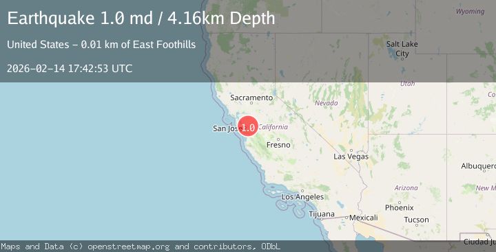
A 1.0 magnitude earthquake struck on 10 km ENE of Alum Rock, CA, at Sat, 14 Feb 2026 17:42:53 GMT. Depth: 4.15999984741211km. Reviewed by USGS seismologists, this minor quake occurred at a magnitude type of md.
Magnitude
1.0
md
Source
USGS
Intensity
-
Agency Reports
1 Sources| Source | Magnitude | Depth | Time |
|---|---|---|---|
| USGSPrimary | 1.0 | 4 km | 4 days ago |
Earthquake Details
AutomaticEvent IDusgs_nc75313827
Tsunami PotentialNo
Magnitude Typemd
Nearest Places
- Van Horn Flats0.8 km
- Mount Day2.6 km
- Cherry Flat Reservoir2.8 km
- Cherry Flat 24 Dam3.2 km
- Poverty Ridge3.5 km
Comments
Join the discussion about this event.
Latest Earthquakes
1.9Mag
Finland
Time5 minutes ago
Depth1.22 km
SourceVYT (Automatic)
1.3Mag
Southern Alaska
Time6 minutes ago
Depth16.36 km
SourceVYT (Automatic)
0.7Mag
7 km W of Cobb, CA
Time6 minutes ago
Depth2.05 km
SourceUSGS (Automatic)
2.2Mag
Tarapaca, Chile
Time10 minutes ago
Depth16.97 km
SourceVYT (Automatic)
1.8Mag
24 km ESE of Naalehu, Hawaii
Time12 minutes ago
Depth31.03 km
SourceUSGS (Automatic)
Nearby Earthquakes
2.1Mag
SAN FRANCISCO BAY AREA, CALIF.
Time2 weeks ago
Depth7.70 km
SourceNC (Automatic)
2.1Mag
SAN FRANCISCO BAY AREA, CALIF.
Time2 hours ago
Depth6.40 km
SourceNC (Automatic)
1.9Mag
9 km E of Alum Rock, CA
Time3 weeks ago
Depth6.05 km
SourceUSGS (Automatic)
1.4Mag
9 km E of Alum Rock, CA
Time2 weeks ago
Depth-0.45 km
SourceUSGS (Automatic)
2.3Mag
SAN FRANCISCO BAY AREA, CALIF.
Time2 weeks ago
Depth3.10 km
SourceNC (Automatic)