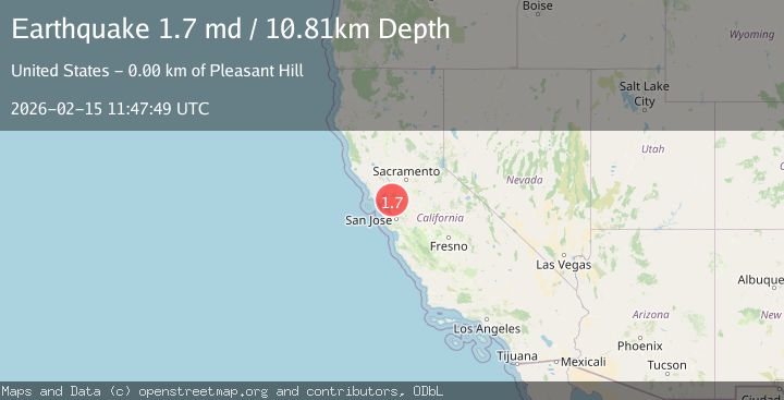
Earthquake 1 km NNE of Pleasant Hill, CA
Sun, 15 Feb 2026 11:47:49 GMT
Time3 days ago
Location
37.9535, -122.0588
Depth
10.8 KM
Event Summary
A 1.7 magnitude earthquake struck on 1 km NNE of Pleasant Hill, CA, at Sun, 15 Feb 2026 11:47:49 GMT. Depth: 10.8100004196167km. Reviewed by USGS seismologists, this minor quake occurred at a magnitude type of md.
Magnitude
1.7
md
Source
USGS
Intensity
-
Agency Reports
1 Sources| Source | Magnitude | Depth | Time |
|---|---|---|---|
| USGSPrimary | 1.7 | 11 km | 3 days ago |
Earthquake Details
AutomaticEvent IDusgs_nc75314222
Tsunami PotentialNo
Magnitude Typemd
Nearest Places
Comments
Join the discussion about this event.
Latest Earthquakes
1.8Mag
Southern California
Time14 hours ago
Depth13.43 km
SourceVYT (Automatic)
1.9Mag
Southern Alaska
Time14 hours ago
Depth0.00 km
SourceVYT (Automatic)
1.3Mag
Central Alaska
Time14 hours ago
Depth0.49 km
SourceVYT (Automatic)
2.3Mag
WESTERN TURKEY
Time14 hours ago
Depth12.60 km
SourceKOERI (Automatic)
1.3Mag
20 km E of Lowell Point, Alaska
Time14 hours ago
Depth8.70 km
SourceUSGS (Automatic)
Nearby Earthquakes
3.0Mag
SAN FRANCISCO BAY AREA, CALIF.
Time10 years ago
Depth14.00 km
SourceNC (Automatic)
3.0Mag
SAN FRANCISCO BAY AREA, CALIF.
Time10 years ago
Depth13.00 km
SourceNC (Automatic)
3.0Mag
SAN FRANCISCO BAY AREA, CALIF.
Time7 years ago
Depth16.00 km
SourceNC (Automatic)
2.3Mag
SAN FRANCISCO BAY AREA, CALIF.
Time1 month ago
Depth6.00 km
SourceNC (Automatic)
3.0Mag
SAN FRANCISCO BAY AREA, CALIF.
Time8 years ago
Depth6.00 km
SourceNC (Automatic)