Earthquake 9 km NW of The Geysers, CA
Mon, 16 Feb 2026 01:47:34 GMT
Time4 days ago
Location
38.8240, -122.8447
Depth
1.8 KM
Event Summary
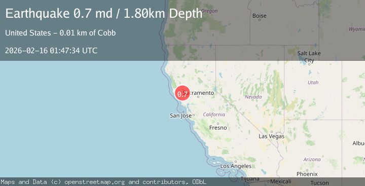
A 0.7 magnitude earthquake struck on 9 km NW of The Geysers, CA, at Mon, 16 Feb 2026 01:47:34 GMT. Depth: 1.79999995231628km. Reviewed by USGS seismologists, this minor quake occurred at a magnitude type of md.
Magnitude
0.7
md
Source
USGS
Intensity
-
Agency Reports
1 Sources| Source | Magnitude | Depth | Time |
|---|---|---|---|
| USGSPrimary | 0.7 | 2 km | 4 days ago |
Earthquake Details
AutomaticEvent IDusgs_nc75314437
Tsunami PotentialNo
Magnitude Typemd
Nearest Places
- Buckeye Mine1.2 km
- Black Oaks1.3 km
- Truitt Creek1.6 km
- Wildhorse Creek1.7 km
- Coldwater Canyon1.8 km
Comments
Join the discussion about this event.
Latest Earthquakes
1.1Mag
7 km NE of San Jacinto, CA
Time17 hours ago
Depth16.11 km
SourceUSGS (Automatic)
2.8Mag
Flores Sea
Time17 hours ago
Depth28.27 km
SourceBMKG
0.6Mag
12 km SE of Anza, CA
Time17 hours ago
Depth6.49 km
SourceUSGS (Automatic)
2.6Mag
western Texas
Time17 hours ago
Depth12.70 km
SourceVYT (Automatic)
2.0Mag
Sumbawa Region, Indonesia
Time17 hours ago
Depth21.49 km
SourceBMKG
Nearby Earthquakes
1.1Mag
9 km NW of The Geysers, CA
Time4 days ago
Depth1.98 km
SourceUSGS (Automatic)
0.8Mag
9 km NW of The Geysers, CA
Time2 days ago
Depth2.22 km
SourceUSGS (Automatic)
0.9Mag
9 km NW of The Geysers, CA
Time1 week ago
Depth2.55 km
SourceUSGS (Automatic)
0.5Mag
9 km NW of The Geysers, CA
Time1 week ago
Depth2.17 km
SourceUSGS (Automatic)
1.5Mag
9 km WNW of The Geysers, CA
Time3 weeks ago
Depth2.24 km
SourceUSGS (Automatic)