Earthquake 15 km S of Tres Pinos, CA
Mon, 16 Feb 2026 11:37:40 GMT
Time1 week ago
Location
36.6565, -121.3298
Depth
2.0 KM
Event Summary
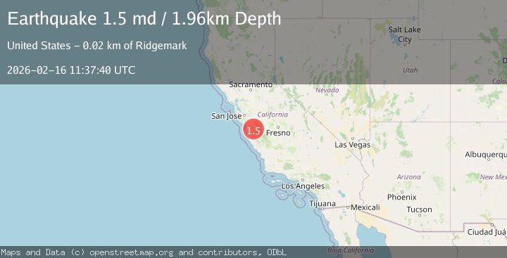
A 1.5 magnitude earthquake struck on 15 km S of Tres Pinos, CA, at Mon, 16 Feb 2026 11:37:40 GMT. Depth: 1.96000003814697km. Reviewed by USGS seismologists, this minor quake occurred at a magnitude type of md.
Magnitude
1.5
md
Source
USGS
Intensity
-
Agency Reports
1 Sources| Source | Magnitude | Depth | Time |
|---|---|---|---|
| USGSPrimary | 1.5 | 2 km | 1 week ago |
Earthquake Details
AutomaticEvent IDusgs_nc75314557
Tsunami PotentialNo
Magnitude Typemd
Nearest Places
- 3.2 km
- 3.3 km
- 3.9 km
- 4.1 km
- 4.1 km
Comments
Join the discussion about this event.
Latest Earthquakes
5.2Mag
NORTHEAST OF TAIWAN
Time7 minutes ago
Depth28.00 km
SourceEMSC (Automatic)
2.8Mag
Potosi, Bolivia
Time8 minutes ago
Depth230.59 km
SourceVYT (Automatic)
1.2Mag
Kenai Peninsula, Alaska
Time8 minutes ago
Depth57.98 km
SourceVYT (Automatic)
1.9Mag
Tarapaca, Chile
Time14 minutes ago
Depth22.22 km
SourceVYT (Automatic)
3.3Mag
Bali Sea
Time15 minutes ago
Depth0.00 km
SourceVYT (Automatic)
Nearby Earthquakes
4.0Mag
CENTRAL CALIFORNIA
Time6 years ago
Depth12.00 km
SourceNEIC (Automatic)
1.6Mag
14 km S of Tres Pinos, CA
Time2 weeks ago
Depth3.35 km
SourceUSGS (Automatic)
2.0Mag
14 km S of Tres Pinos, CA
Time1 month ago
Depth2.18 km
SourceUSGS (Automatic)
1.7Mag
14 km S of Tres Pinos, CA
Time1 week ago
Depth3.53 km
SourceUSGS (Automatic)
2.9Mag
CENTRAL CALIFORNIA
Time1 week ago
Depth7.00 km
SourceNC (Automatic)