Earthquake 14 km S of Tres Pinos, CA
Fri, 23 Jan 2026 03:31:19 GMT
Time4 days ago
Location
36.6618, -121.3317
Depth
2.2 KM
Event Summary
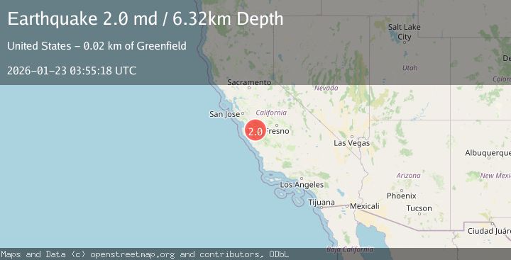
A 2.0 magnitude earthquake struck on 14 km S of Tres Pinos, CA, at Fri, 23 Jan 2026 03:31:19 GMT. Depth: 2.1800000667572km. Reviewed by USGS seismologists, this minor quake occurred at a magnitude type of md.
Magnitude
2.0
md
Source
USGS
Intensity
-
Agency Reports
1 Sources| Source | Magnitude | Depth | Time |
|---|---|---|---|
| USGSPrimary | 2.0 | 6 km | 4 days ago |
Earthquake Details
AutomaticEvent IDusgs_nc75300266
Tsunami PotentialNo
Magnitude Typemd
Nearest Places
- McPhails Peak3.1 km
- Matarana Gulch3.5 km
- Enz Vineyards3.6 km
- Swope Canyon4.3 km
- Three Troughs Canyon4.5 km
Comments
Join the discussion about this event.
Latest Earthquakes
2.4Mag
NEVADA
Time7 minutes ago
Depth16.00 km
SourceNN (Automatic)
3.1Mag
Northern Molucca Sea
Time8 minutes ago
Depth31.63 km
SourceBMKG (Automatic)
2.1Mag
SOUTHERN ITALY
Time13 minutes ago
Depth10.00 km
SourceINGV (Automatic)
2.6Mag
Northern Sumatra, Indonesia
Time13 minutes ago
Depth0.60 km
SourceBMKG (Automatic)
2.1Mag
SOUTHERN TEXAS
Time13 minutes ago
Depth0.00 km
SourceTX (Automatic)
Nearby Earthquakes
2.6Mag
14 km S of Tres Pinos, CA
Time1 week ago
Depth6.66 km
SourceUSGS (Automatic)
1.5Mag
13 km SSW of Tres Pinos, CA
Time4 days ago
Depth1.38 km
SourceUSGS (Automatic)
1.6Mag
17 km S of Tres Pinos, CA
Time3 days ago
Depth5.25 km
SourceUSGS (Automatic)
1.5Mag
17 km S of Tres Pinos, CA
Time1 day ago
Depth5.66 km
SourceUSGS (Automatic)
2.1Mag
CENTRAL CALIFORNIA
Time5 days ago
Depth6.20 km
SourceNC (Automatic)