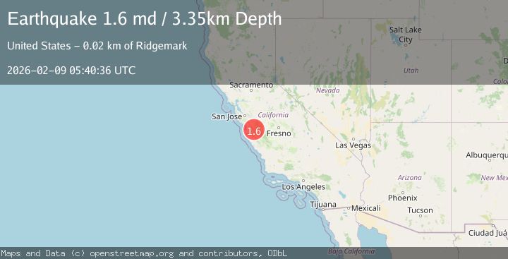
Earthquake 14 km S of Tres Pinos, CA
Mon, 09 Feb 2026 05:40:36 GMT
Time1 hour ago
Location
36.6600, -121.3263
Depth
3.3 KM
Event Summary
A 1.6 magnitude earthquake struck on 14 km S of Tres Pinos, CA, at Mon, 09 Feb 2026 05:40:36 GMT. Depth: 3.34999990463257km. Reviewed by USGS seismologists, this minor quake occurred at a magnitude type of md.
Magnitude
1.6
md
Source
USGS
Intensity
-
Agency Reports
1 Sources| Source | Magnitude | Depth | Time |
|---|---|---|---|
| USGSPrimary | 1.6 | 3 km | 1 hour ago |
Earthquake Details
AutomaticEvent IDusgs_nc75311107
Tsunami PotentialNo
Magnitude Typemd
Nearest Places
- McPhails Peak3.6 km
- Matarana Gulch3.7 km
- Enz Vineyards3.9 km
- Three Troughs Canyon4.0 km
- Alvisa Canyon4.0 km
Comments
Join the discussion about this event.
Latest Earthquakes
2.1Mag
WESTERN TURKEY
Time18 minutes ago
Depth10.10 km
SourceKOERI (Automatic)
3.7Mag
GREECE
Time24 minutes ago
Depth10.00 km
SourceNOA (Automatic)
2.2Mag
Sumbawa Region, Indonesia
Time24 minutes ago
Depth10.00 km
SourceBMKG (Automatic)
3.3Mag
Ceram Sea
Time27 minutes ago
Depth11.30 km
SourceBMKG (Automatic)
3.4Mag
Northern Molucca Sea
Time31 minutes ago
Depth10.95 km
SourceBMKG (Automatic)
Nearby Earthquakes
2.1Mag
CENTRAL CALIFORNIA
Time1 week ago
Depth5.40 km
SourceNC (Automatic)
2.0Mag
14 km S of Tres Pinos, CA
Time2 weeks ago
Depth2.18 km
SourceUSGS (Automatic)
1.7Mag
15 km S of Tres Pinos, CA
Time5 days ago
Depth2.12 km
SourceUSGS (Automatic)
2.6Mag
14 km S of Tres Pinos, CA
Time2 weeks ago
Depth6.66 km
SourceUSGS (Automatic)
2.0Mag
14 km S of Tres Pinos, CA
Time4 days ago
Depth4.33 km
SourceUSGS (Automatic)