Earthquake 10 km WNW of The Geysers, CA
Tue, 17 Feb 2026 01:33:58 GMT
Time2 days ago
Location
38.8213, -122.8513
Depth
2.3 KM
Event Summary
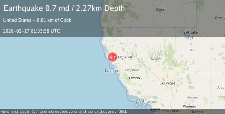
A 0.7 magnitude earthquake struck on 10 km WNW of The Geysers, CA, at Tue, 17 Feb 2026 01:33:58 GMT. Depth: 2.26999998092651km. Reviewed by USGS seismologists, this minor quake occurred at a magnitude type of md.
Magnitude
0.7
md
Source
USGS
Intensity
-
Agency Reports
1 Sources| Source | Magnitude | Depth | Time |
|---|---|---|---|
| USGSPrimary | 0.7 | 2 km | 2 days ago |
Earthquake Details
AutomaticEvent IDusgs_nc75314847
Tsunami PotentialNo
Magnitude Typemd
Nearest Places
- Buckeye Mine0.6 km
- Truitt Creek1.1 km
- Truitt Ranch1.6 km
- Cloverdale Mine Headquarters1.8 km
- Adit Number One-One Hundred Twenty1.8 km
Comments
Join the discussion about this event.
Latest Earthquakes
1.7Mag
Southern Alaska
Time44 minutes ago
Depth16.24 km
SourceVYT (Automatic)
3.0Mag
Southern Alaska
Time51 minutes ago
Depth53.34 km
SourceVYT (Automatic)
1.9Mag
Tarapaca, Chile
Time51 minutes ago
Depth0.00 km
SourceVYT (Automatic)
2.4Mag
Sulawesi, Indonesia
Time1 hour ago
Depth4.26 km
SourceBMKG
2.2Mag
Northern Sumatra, Indonesia
Time1 hour ago
Depth8.25 km
SourceBMKG
Nearby Earthquakes
0.9Mag
10 km WNW of The Geysers, CA
Time2 days ago
Depth2.61 km
SourceUSGS (Automatic)
1.3Mag
10 km WNW of The Geysers, CA
Time4 days ago
Depth2.57 km
SourceUSGS (Automatic)
0.5Mag
10 km WNW of The Geysers, CA
Time5 days ago
Depth1.80 km
SourceUSGS (Automatic)
2.1Mag
9 km WNW of The Geysers, CA
Time3 weeks ago
Depth1.24 km
SourceUSGS (Automatic)
0.7Mag
10 km WNW of The Geysers, CA
Time5 hours ago
Depth2.56 km
SourceUSGS (Automatic)