Earthquake 10 km WNW of The Geysers, CA
Tue, 27 Jan 2026 19:50:13 GMT
Time3 hours ago
Location
38.8258, -122.8540
Depth
2.4 KM
Event Summary
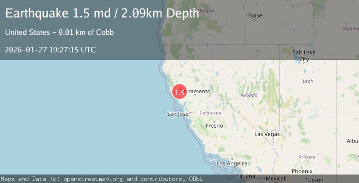
A 1.5 magnitude earthquake struck on 10 km WNW of The Geysers, CA, at Tue, 27 Jan 2026 19:50:13 GMT. Depth: 2.36999988555908km. Reviewed by USGS seismologists, this minor quake occurred at a magnitude type of md.
Magnitude
1.5
md
Source
USGS
Intensity
-
Agency Reports
1 Sources| Source | Magnitude | Depth | Time |
|---|---|---|---|
| USGSPrimary | 1.5 | 2 km | 4 hours ago |
Earthquake Details
AutomaticEvent IDusgs_nc75302766
Tsunami PotentialNo
Magnitude Typemd
Nearest Places
- Buckeye Mine0.5 km
- Hummingbird Creek1.5 km
- Truitt Creek1.5 km
- Alder Creek1.5 km
- Cloverdale Mine Headquarters1.6 km
Comments
Join the discussion about this event.
Latest Earthquakes
1.7Mag
42 km NW of Toyah, Texas
Time5 minutes ago
Depth4.72 km
SourceUSGS (Automatic)
4.8Mag
Mindanao, Philippines
Time12 minutes ago
Depth10.00 km
SourceBMKG (Automatic)
2.8Mag
CRETE, GREECE
Time16 minutes ago
Depth6.80 km
SourceNOA (Automatic)
0.9Mag
6 km NW of The Geysers, CA
Time21 minutes ago
Depth2.53 km
SourceUSGS (Automatic)
4.5Mag
South of Java, Indonesia
Time25 minutes ago
Depth10.00 km
SourceBMKG (Automatic)
Nearby Earthquakes
0.8Mag
10 km WNW of The Geysers, CA
Time19 hours ago
Depth2.37 km
SourceUSGS (Automatic)
0.8Mag
10 km WNW of The Geysers, CA
Time3 days ago
Depth1.49 km
SourceUSGS (Automatic)
2.2Mag
10 km WNW of The Geysers, CA
Time6 hours ago
Depth1.35 km
SourceUSGS (Automatic)
1.2Mag
10 km WNW of The Geysers, CA
Time3 days ago
Depth2.21 km
SourceUSGS (Automatic)
0.8Mag
10 km WNW of The Geysers, CA
Time1 day ago
Depth2.70 km
SourceUSGS (Automatic)