Earthquake 8 km ESE of Atascadero, CA
Mon, 02 Feb 2026 17:34:27 GMT
Time4 hours ago
Location
35.4717, -120.5827
Depth
4.6 KM
Event Summary
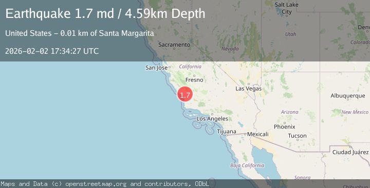
A 1.7 magnitude earthquake struck on 8 km ESE of Atascadero, CA, at Mon, 02 Feb 2026 17:34:27 GMT. Depth: 4.59000015258789km. Reviewed by USGS seismologists, this minor quake occurred at a magnitude type of md.
Magnitude
1.7
md
Source
USGS
Intensity
-
Agency Reports
1 Sources| Source | Magnitude | Depth | Time |
|---|---|---|---|
| USGSPrimary | 1.7 | 5 km | 4 hours ago |
Earthquake Details
AutomaticEvent IDusgs_nc75306046
Tsunami PotentialNo
Magnitude Typemd
Nearest Places
- Granite Ridge2.0 km
- Adobe Canyon2.6 km
- Happy Valley Ranch3.4 km
- Rocky Canyon3.5 km
- Santa Margarita Creek3.7 km
Comments
Join the discussion about this event.
Latest Earthquakes
2.8Mag
Sulawesi, Indonesia
Time8 minutes ago
Depth10.00 km
SourceBMKG (Automatic)
1.5Mag
5 km SE of San Ramon, CA
Time9 minutes ago
Depth6.55 km
SourceUSGS (Automatic)
3.8Mag
Southern Sumatra, Indonesia
Time10 minutes ago
Depth10.00 km
SourceBMKG (Automatic)
2.4Mag
West Papua Region, Indonesia
Time18 minutes ago
Depth9.36 km
SourceBMKG (Automatic)
4.4Mag
FIJI REGION
Time22 minutes ago
Depth493.40 km
SourceNEIC (Automatic)
Nearby Earthquakes
1.2Mag
6 km ESE of San Miguel, CA
Time2 days ago
Depth8.98 km
SourceUSGS (Automatic)
0.6Mag
12 km WSW of Parkfield, CA
Time1 week ago
Depth11.00 km
SourceUSGS (Automatic)
1.2Mag
Central California
Time2 weeks ago
Depth5.93 km
SourceUSGS (Automatic)
1.2Mag
8 km N of Cambria, CA
Time1 week ago
Depth3.75 km
SourceUSGS (Automatic)
2.3Mag
CENTRAL CALIFORNIA
Time1 week ago
Depth3.70 km
SourceNC (Automatic)