Earthquake 7 km W of Templeton, CA
Fri, 27 Feb 2026 01:38:39 GMT
Time1 hour ago
Location
35.5485, -120.7855
Depth
5.9 KM
Event Summary
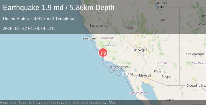
A 1.9 magnitude earthquake struck on 7 km W of Templeton, CA, at Fri, 27 Feb 2026 01:38:39 GMT. Depth: 5.8600001335144km. Reviewed by USGS seismologists, this minor quake occurred at a magnitude type of md.
Magnitude
1.9
md
Source
USGS
Intensity
-
Agency Reports
1 Sources| Source | Magnitude | Depth | Time |
|---|---|---|---|
| USGSPrimary | 1.9 | 6 km | 1 hour ago |
Earthquake Details
AutomaticEvent IDusgs_nc75319522
Tsunami PotentialNo
Magnitude Typemd
Nearest Places
- 0.7 km
- 0.9 km
- 1.0 km
- 1.5 km
- 2.1 km
Comments
Join the discussion about this event.
Latest Earthquakes
1.2Mag
Southern Alaska
Time1 hour ago
Depth17.09 km
SourceVYT (Automatic)
1.2Mag
3 km NNE of Fontana, CA
Time1 hour ago
Depth6.17 km
SourceUSGS (Automatic)
2.7Mag
Java, Indonesia
Time1 hour ago
Depth30.88 km
SourceBMKG
3.5Mag
Atacama, Chile
Time1 hour ago
Depth124.39 km
SourceVYT (Automatic)
2.5Mag
Minahassa Peninsula, Sulawesi
Time1 hour ago
Depth108.43 km
SourceBMKG
Nearby Earthquakes
2.7Mag
CENTRAL CALIFORNIA
Time2 months ago
Depth5.00 km
SourceNEIC (Automatic)
3.0Mag
CENTRAL CALIFORNIA
Time6 years ago
Depth5.00 km
SourceNC (Automatic)
1.2Mag
5 km WNW of Templeton, CA
Time9 hours ago
Depth5.44 km
SourceUSGS (Automatic)
1.5Mag
11 km W of Templeton, CA
Time4 hours ago
Depth4.96 km
SourceUSGS (Automatic)
2.0Mag
CENTRAL CALIFORNIA
Time1 month ago
Depth6.70 km
SourceNC (Automatic)