Earthquake 9 km WNW of The Geysers, CA
Mon, 02 Mar 2026 12:26:51 GMT
Time1 hour ago
Location
38.8173, -122.8413
Depth
2.2 KM
Event Summary
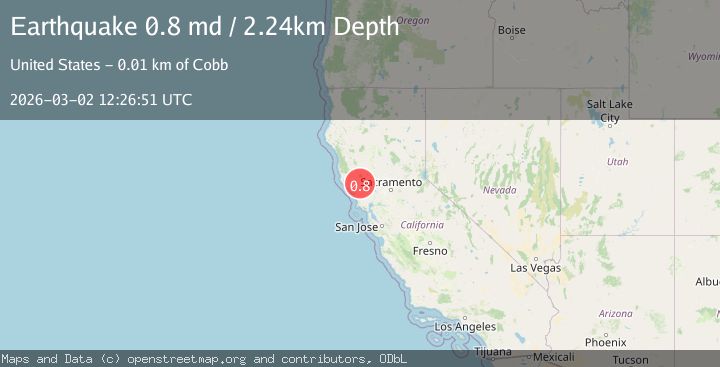
A 0.8 magnitude earthquake struck on 9 km WNW of The Geysers, CA, at Mon, 02 Mar 2026 12:26:51 GMT. Depth: 2.24000000953674km. Reviewed by USGS seismologists, this minor quake occurred at a magnitude type of md.
Magnitude
0.8
md
Source
USGS
Intensity
-
Agency Reports
1 Sources| Source | Magnitude | Depth | Time |
|---|---|---|---|
| USGSPrimary | 0.8 | 2 km | 1 hour ago |
Earthquake Details
AutomaticEvent IDusgs_nc75321322
Tsunami PotentialNo
Magnitude Typemd
Nearest Places
- 1.2 km
- 1.3 km
- 1.4 km
- 1.4 km
- 1.6 km
Comments
Join the discussion about this event.
Latest Earthquakes
2.3Mag
Sumba region, Indonesia
Time1 hour ago
Depth44.19 km
SourceVYT (Automatic)
0.4Mag
10 km WSW of Anza, CA
Time1 hour ago
Depth4.54 km
SourceUSGS (Automatic)
4.4Mag
Rat Islands, Aleutian Islands, Alaska
Time1 hour ago
Depth10.00 km
SourceVYT (Automatic)
1.6Mag
Southern Alaska
Time1 hour ago
Depth0.00 km
SourceVYT (Automatic)
2.2Mag
Central Alaska
Time1 hour ago
Depth0.00 km
SourceVYT (Automatic)
Nearby Earthquakes
0.8Mag
9 km WNW of The Geysers, CA
Time21 hours ago
Depth2.52 km
SourceUSGS (Automatic)
2.0Mag
8 km WNW of The Geysers, CA
Time2 weeks ago
Depth0.67 km
SourceUSGS (Automatic)
1.1Mag
8 km WNW of The Geysers, CA
Time2 weeks ago
Depth0.89 km
SourceUSGS (Automatic)
0.8Mag
9 km WNW of The Geysers, CA
Time2 weeks ago
Depth1.47 km
SourceUSGS (Automatic)
2.2Mag
NORTHERN CALIFORNIA
Time1 month ago
Depth2.20 km
SourceNC (Automatic)