Earthquake 4 km ESE of Mossyrock, Washington
Mon, 12 Jan 2026 22:08:51 GMT
Time3 hours ago
Location
46.5207, -122.4258
Depth
19.3 KM
Event Summary
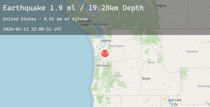
A 1.9 magnitude earthquake struck on 4 km ESE of Mossyrock, Washington, at Mon, 12 Jan 2026 22:08:51 GMT. Depth: 19.2800006866455km. Reviewed by USGS seismologists, this minor quake occurred at a magnitude type of ml.
Magnitude
1.9
ml
Source
USGS
Intensity
-
Agency Reports
2 Sources| Source | Magnitude | Depth | Time |
|---|---|---|---|
| USGSPrimary | 1.9 | 19 km | 3 hours ago |
| USGSPrimary | 1.1 | 20 km | 2 hours ago |
Earthquake Details
AutomaticEvent IDusgs_uw62214027
Tsunami PotentialNo
Magnitude Typeml
Nearest Places
- Ajlune0.9 km
- Mossyrock Park1.2 km
- Mossyrock Dam1.5 km
- Mossyrock State Wildlife Area2.6 km
- Swofford Pond3.0 km
Comments
Join the discussion about this event.
Latest Earthquakes
2.2Mag
Near North Coast of West Papua
Time2 hours ago
Depth26.01 km
SourceBMKG (Automatic)
1.3Mag
WESTERN TURKEY
Time2 hours ago
Depth5.60 km
SourceAFAD (Automatic)
2.8Mag
Sumbawa Region, Indonesia
Time2 hours ago
Depth7.80 km
SourceBMKG (Automatic)
2.0Mag
70 km ESE of Denali National Park, Alaska
Time2 hours ago
Depth113.00 km
SourceUSGS (Automatic)
2.7Mag
Timor Region
Time2 hours ago
Depth5.00 km
SourceBMKG (Automatic)
Nearby Earthquakes
No significant earthquakes nearby recently.