Earthquake 27 km W of Alamo, Nevada
Tue, 13 Jan 2026 14:56:34 GMT
Time1 day ago
Location
37.3312, -115.4706
Depth
1.2 KM
Event Summary
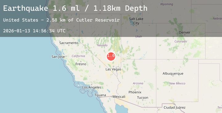
A 1.6 magnitude earthquake struck on 27 km W of Alamo, Nevada, at Tue, 13 Jan 2026 14:56:34 GMT. Depth: 1.1762km. Reviewed by USGS seismologists, this minor quake occurred at a magnitude type of ml.
Magnitude
1.6
ml
Source
USGS
Intensity
-
Agency Reports
1 Sources| Source | Magnitude | Depth | Time |
|---|---|---|---|
| USGSPrimary | 1.6 | 1 km | 1 day ago |
Earthquake Details
AutomaticEvent IDusgs_nn00909491
Tsunami PotentialNo
Magnitude Typeml
Nearest Places
- Cutler Reservoir2.6 km
- Blowfly Reservoir4.6 km
- Crescent Reservoir8.1 km
- Pahranagat Range9.9 km
- Basin Reservoir10.2 km
Comments
Join the discussion about this event.
Latest Earthquakes
2.6Mag
NEAR N COAST OF PAPUA, INDONESIA
Time1 day ago
Depth6.00 km
SourceBMKG (Automatic)
1.6Mag
20 km NW of Parkfield, CA
Time1 day ago
Depth3.13 km
SourceUSGS (Automatic)
1.7Mag
NORTHERN ITALY
Time1 day ago
Depth8.00 km
SourceOGS (Automatic)
2.5Mag
Sumba Region, Indonesia
Time1 day ago
Depth31.47 km
SourceBMKG (Automatic)
3.2Mag
CENTRAL MEDITERRANEAN SEA
Time1 day ago
Depth59.80 km
SourceNOA (Automatic)