Earthquake NEAR N COAST OF PAPUA, INDONESIA
Tue, 13 Jan 2026 15:35:58 GMT
Time1 day ago
Location
-2.9100, 139.6500
Depth
6.0 KM
Event Summary
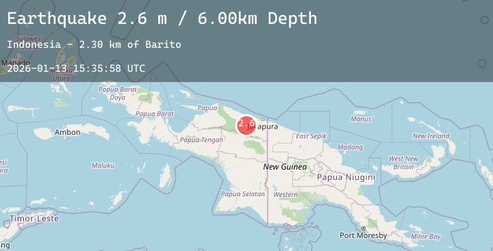
A 2.6 magnitude earthquake struck on NEAR N COAST OF PAPUA, INDONESIA, at Tue, 13 Jan 2026 15:35:58 GMT. Depth: 6km. Reviewed by BMKG seismologists, this minor quake occurred at a magnitude type of m.
Magnitude
2.6
m
Source
BMKG
Intensity
-
Agency Reports
1 Sources| Source | Magnitude | Depth | Time |
|---|---|---|---|
| BMKGPrimary | 2.6 | 6 km | 1 day ago |
Earthquake Details
AutomaticEvent IDemsc_20260113_0000232
Tsunami PotentialNo
Magnitude Typem
Nearest Places
- Barito6.6 km
- Kampung Tetom14.2 km
- Dore18.5 km
- Kampung Kiren19.0 km
- Desa Kobi20.5 km
Comments
Join the discussion about this event.
Latest Earthquakes
1.6Mag
20 km NW of Parkfield, CA
Time1 day ago
Depth3.13 km
SourceUSGS (Automatic)
1.7Mag
NORTHERN ITALY
Time1 day ago
Depth8.00 km
SourceOGS (Automatic)
2.5Mag
Sumba Region, Indonesia
Time1 day ago
Depth31.47 km
SourceBMKG (Automatic)
2.3Mag
Flores Region, Indonesia
Time1 day ago
Depth10.29 km
SourceBMKG (Automatic)
3.3Mag
West Papua Region, Indonesia
Time1 day ago
Depth10.00 km
SourceBMKG (Automatic)
Nearby Earthquakes
3.0Mag
Near North Coast of West Papua
Time2 days ago
Depth7.27 km
SourceBMKG (Automatic)
3.3Mag
West Papua, Indonesia
Time2 days ago
Depth14.85 km
SourceBMKG (Automatic)
2.3Mag
Near North Coast of West Papua
Time2 days ago
Depth10.00 km
SourceBMKG (Automatic)
3.2Mag
West Papua, Indonesia
Time2 days ago
Depth66.84 km
SourceBMKG (Automatic)
4.8Mag
Near North Coast of West Papua
Time2 days ago
Depth50.89 km
SourceBMKG (Automatic)