Earthquake 52 km S of Silver Peak, Nevada
Wed, 11 Feb 2026 09:30:48 GMT
Time1 week ago
Location
37.2791, -117.6837
Depth
2.2 KM
Event Summary
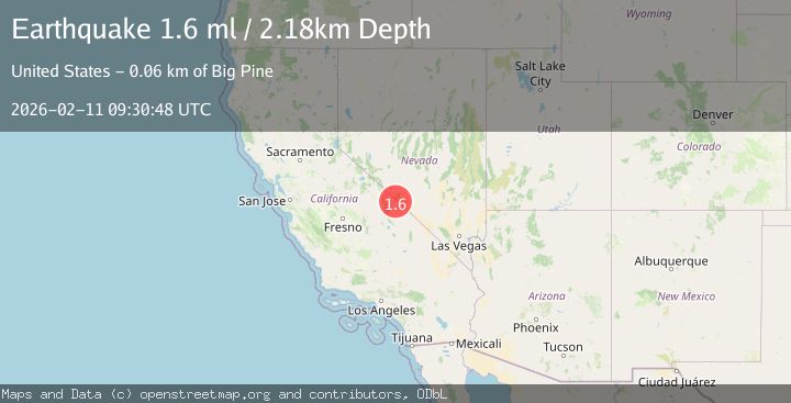
A 1.6 magnitude earthquake struck on 52 km S of Silver Peak, Nevada, at Wed, 11 Feb 2026 09:30:48 GMT. Depth: 2.1829km. Reviewed by USGS seismologists, this minor quake occurred at a magnitude type of ml.
Magnitude
1.6
ml
Source
USGS
Intensity
-
Agency Reports
1 Sources| Source | Magnitude | Depth | Time |
|---|---|---|---|
| USGSPrimary | 1.6 | 2 km | 1 week ago |
Earthquake Details
AutomaticEvent IDusgs_nn00910660
Tsunami PotentialNo
Magnitude Typeml
Nearest Places
- Last Chance Mountain1.4 km
- Last Chance Spring1.8 km
- Copper Canyon3.7 km
- Copper Canyon3.9 km
- Willow Spring6.2 km
Comments
Join the discussion about this event.
Latest Earthquakes
2.8Mag
Sunda Strait, Indonesia
Time12 minutes ago
Depth3.61 km
SourceBMKG
3.6Mag
south of Alaska
Time12 minutes ago
Depth10.00 km
SourceVYT (Automatic)
1.2Mag
Central Alaska
Time14 minutes ago
Depth68.97 km
SourceVYT (Automatic)
1.2Mag
Washington
Time16 minutes ago
Depth0.00 km
SourceVYT (Automatic)
0.8Mag
10 km WNW of The Geysers, CA
Time22 minutes ago
Depth1.96 km
SourceUSGS (Automatic)
Nearby Earthquakes
3.0Mag
CENTRAL CALIFORNIA
Time6 years ago
Depth4.00 km
SourceNEIC (Automatic)
3.0Mag
CENTRAL CALIFORNIA
Time2 years ago
Depth5.00 km
SourceNEIC (Automatic)
3.0Mag
NEVADA
Time6 years ago
Depth8.00 km
SourceNEIC (Automatic)
3.5Mag
CENTRAL CALIFORNIA
Time1 month ago
Depth10.90 km
SourceNEIC (Automatic)
1.7Mag
35 km SSE of Dyer, Nevada
Time2 weeks ago
Depth2.19 km
SourceUSGS (Automatic)