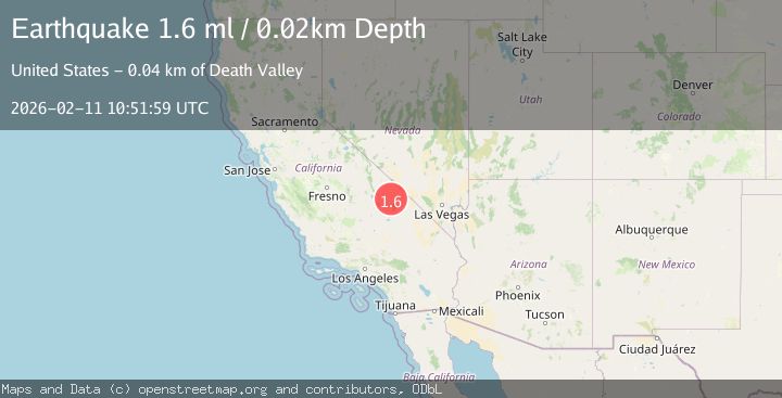
Earthquake 31 km WSW of Furnace Creek, California
Wed, 11 Feb 2026 10:51:59 GMT
Time1 week ago
Location
36.3756, -117.1964
Depth
0.0 KM
Event Summary
A 1.6 magnitude earthquake struck on 31 km WSW of Furnace Creek, California, at Wed, 11 Feb 2026 10:51:59 GMT. Depth: 0.021km. Reviewed by USGS seismologists, this minor quake occurred at a magnitude type of ml.
Magnitude
1.6
ml
Source
USGS
Intensity
-
Agency Reports
1 Sources| Source | Magnitude | Depth | Time |
|---|---|---|---|
| USGSPrimary | 1.6 | 0 km | 1 week ago |
Earthquake Details
AutomaticEvent IDusgs_nn00910664
Tsunami PotentialNo
Magnitude Typeml
Nearest Places
- 1.3 km
- 2.4 km
- 2.5 km
- 2.8 km
- 2.9 km
Comments
Join the discussion about this event.
Latest Earthquakes
3.0Mag
Fox Islands, Aleutian Islands, Alaska
Time2 minutes ago
Depth21.36 km
SourceVYT (Automatic)
1.2Mag
Southern Alaska
Time6 minutes ago
Depth8.54 km
SourceVYT (Automatic)
1.7Mag
18 km ESE of Susitna North, Alaska
Time8 minutes ago
Depth54.80 km
SourceUSGS (Automatic)
1.7Mag
Alaska Peninsula
Time9 minutes ago
Depth0.85 km
SourceVYT (Automatic)
2.8Mag
Western Australia
Time9 minutes ago
Depth21.12 km
SourceVYT (Automatic)
Nearby Earthquakes
1.6Mag
10 km SW of Furnace Creek, California
Time3 weeks ago
Depth7.46 km
SourceUSGS (Automatic)
1.8Mag
8 km SW of Furnace Creek, California
Time3 weeks ago
Depth5.95 km
SourceUSGS (Automatic)
1.8Mag
7 km SW of Furnace Creek, California
Time3 weeks ago
Depth4.54 km
SourceUSGS (Automatic)
2.3Mag
CENTRAL CALIFORNIA
Time3 weeks ago
Depth1.70 km
SourceSCSN (Automatic)
3.0Mag
CENTRAL CALIFORNIA
Time7 years ago
Depth1.00 km
SourceNEIC (Automatic)