Earthquake 13 km W of Mina, Nevada
Sun, 15 Feb 2026 05:34:05 GMT
Time6 days ago
Location
38.3733, -118.2671
Depth
9.1 KM
Event Summary
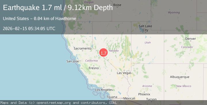
A 1.7 magnitude earthquake struck on 13 km W of Mina, Nevada, at Sun, 15 Feb 2026 05:34:05 GMT. Depth: 9.117km. Reviewed by USGS seismologists, this minor quake occurred at a magnitude type of ml.
Magnitude
1.7
ml
Source
USGS
Intensity
-
Agency Reports
1 Sources| Source | Magnitude | Depth | Time |
|---|---|---|---|
| USGSPrimary | 1.7 | 9 km | 6 days ago |
Earthquake Details
AutomaticEvent IDusgs_nn00910867
Tsunami PotentialNo
Magnitude Typeml
Nearest Places
- 0.8 km
- 1.6 km
- 1.6 km
- 3.5 km
- 4.0 km
Comments
Join the discussion about this event.
Latest Earthquakes
3.5Mag
Kepulauan Aru region, Indonesia
Time2 minutes ago
Depth10.00 km
SourceVYT (Automatic)
4.4Mag
Andreanof Islands, Aleutian Islands, Alaska
Time3 minutes ago
Depth187.99 km
SourceVYT (Automatic)
3.2Mag
South of Java, Indonesia
Time6 minutes ago
Depth27.45 km
SourceBMKG
2.4Mag
northern Sumatra, Indonesia
Time8 minutes ago
Depth13.79 km
SourceVYT (Automatic)
2.0Mag
western Texas
Time8 minutes ago
Depth10.38 km
SourceVYT (Automatic)
Nearby Earthquakes
1.6Mag
18 km SW of Mina, Nevada
Time3 weeks ago
Depth2.83 km
SourceUSGS (Automatic)
3.0Mag
NEVADA
Time9 years ago
Depth4.00 km
SourceNEIC (Automatic)
2.2Mag
NEVADA
Time1 month ago
Depth5.40 km
SourceNN (Automatic)
1.9Mag
14 km ESE of Hawthorne, Nevada
Time4 days ago
Depth4.44 km
SourceUSGS (Automatic)
3.4Mag
NEVADA
Time3 weeks ago
Depth13.30 km
SourceNN (Automatic)