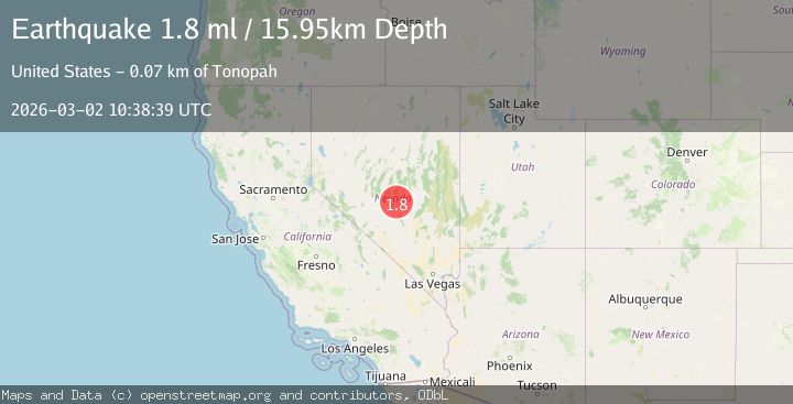
Earthquake 72 km NE of Tonopah, Nevada
Mon, 02 Mar 2026 10:38:39 GMT
Time1 hour ago
Location
38.4511, -116.5603
Depth
15.9 KM
Event Summary
A 1.8 magnitude earthquake struck on 72 km NE of Tonopah, Nevada, at Mon, 02 Mar 2026 10:38:39 GMT. Depth: 15.9456km. Reviewed by USGS seismologists, this minor quake occurred at a magnitude type of ml.
Magnitude
1.8
ml
Source
USGS
Intensity
-
Agency Reports
1 Sources| Source | Magnitude | Depth | Time |
|---|---|---|---|
| USGSPrimary | 1.8 | 16 km | 1 hour ago |
Earthquake Details
AutomaticEvent IDusgs_nn00911622
Tsunami PotentialNo
Magnitude Typeml
Nearest Places
- 3.8 km
- 6.9 km
- 8.5 km
- 8.8 km
- 8.9 km
Comments
Join the discussion about this event.
Latest Earthquakes
2.5Mag
Antofagasta, Chile
Time1 hour ago
Depth159.06 km
SourceVYT (Automatic)
2.9Mag
Banda Sea
Time1 hour ago
Depth3.87 km
SourceBMKG
1.2Mag
23 km NNW of Borrego Springs, CA
Time1 hour ago
Depth2.84 km
SourceUSGS (Automatic)
2.2Mag
FRANCE
Time1 hour ago
Depth5.00 km
SourceReNaSS (Automatic)
2.1Mag
Central Alaska
Time2 hours ago
Depth12.94 km
SourceVYT (Automatic)
Nearby Earthquakes
1.9Mag
75 km NE of Tonopah, Nevada
Time7 hours ago
Depth15.98 km
SourceUSGS (Automatic)
1.6Mag
75 km NE of Tonopah, Nevada
Time16 hours ago
Depth16.00 km
SourceUSGS (Automatic)
1.8Mag
69 km ENE of Tonopah, Nevada
Time19 hours ago
Depth0.01 km
SourceUSGS (Automatic)
2.4Mag
76 km NE of Tonopah, Nevada
Time14 hours ago
Depth4.05 km
SourceUSGS (Automatic)
1.9Mag
67 km NE of Tonopah, Nevada
Time15 hours ago
Depth15.97 km
SourceUSGS (Automatic)