Earthquake 27 km S of Westbrook, Texas
Thu, 22 Jan 2026 20:31:01 GMT
Time4 days ago
Location
32.1110, -101.0600
Depth
4.2 KM
Event Summary
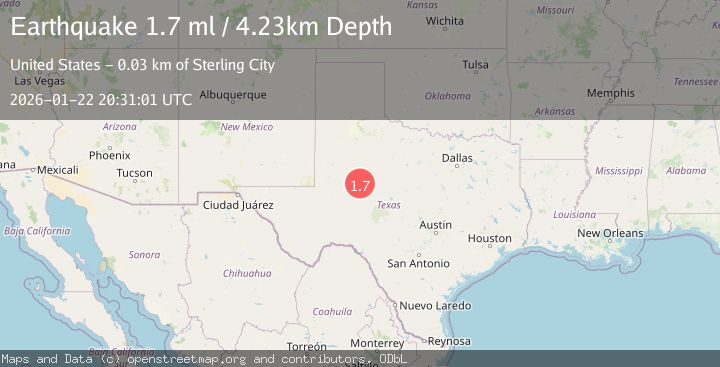
A 1.7 magnitude earthquake struck on 27 km S of Westbrook, Texas, at Thu, 22 Jan 2026 20:31:01 GMT. Depth: 4.2269km. Reviewed by USGS seismologists, this minor quake occurred at a magnitude type of ml.
Magnitude
1.7
ml
Source
USGS
Intensity
-
Agency Reports
1 Sources| Source | Magnitude | Depth | Time |
|---|---|---|---|
| USGSPrimary | 1.7 | 4 km | 4 days ago |
Earthquake Details
AutomaticEvent IDusgs_tx2026bodbhb
Tsunami PotentialNo
Magnitude Typeml
Nearest Places
- Buffalo Draw0.4 km
- Spade Ranch0.7 km
- Red Dam2.0 km
- Ellwood Lake Dam2.5 km
- Ellwood Lake2.5 km
Comments
Join the discussion about this event.
Latest Earthquakes
2.4Mag
NEVADA
Time4 minutes ago
Depth16.00 km
SourceNN (Automatic)
3.1Mag
Northern Molucca Sea
Time5 minutes ago
Depth31.63 km
SourceBMKG (Automatic)
2.6Mag
Northern Sumatra, Indonesia
Time10 minutes ago
Depth0.60 km
SourceBMKG (Automatic)
2.1Mag
SOUTHERN TEXAS
Time10 minutes ago
Depth0.00 km
SourceTX (Automatic)
3.8Mag
ATACAMA, CHILE
Time17 minutes ago
Depth98.00 km
SourceCSN (Automatic)
Nearby Earthquakes
1.8Mag
26 km S of Westbrook, Texas
Time21 hours ago
Depth2.88 km
SourceUSGS (Automatic)
1.8Mag
25 km S of Westbrook, Texas
Time10 hours ago
Depth2.05 km
SourceUSGS (Automatic)
1.9Mag
10 km S of Forsan, Texas
Time4 days ago
Depth0.90 km
SourceUSGS (Automatic)
1.2Mag
4 km SE of Big Spring, Texas
Time4 days ago
Depth3.06 km
SourceUSGS (Automatic)
1.3Mag
3 km NNW of Garden City, Texas
Time1 day ago
Depth1.26 km
SourceUSGS (Automatic)