Earthquake 25 km S of Westbrook, Texas
Tue, 27 Jan 2026 00:03:14 GMT
Time14 hours ago
Location
32.1240, -101.0300
Depth
2.0 KM
Event Summary
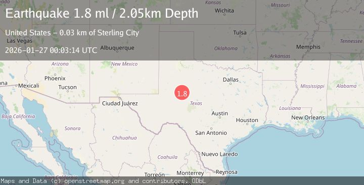
A 1.8 magnitude earthquake struck on 25 km S of Westbrook, Texas, at Tue, 27 Jan 2026 00:03:14 GMT. Depth: 2.0469km. Reviewed by USGS seismologists, this minor quake occurred at a magnitude type of ml.
Magnitude
1.8
ml
Source
USGS
Intensity
-
Agency Reports
1 Sources| Source | Magnitude | Depth | Time |
|---|---|---|---|
| USGSPrimary | 1.8 | 2 km | 14 hours ago |
Earthquake Details
AutomaticEvent IDusgs_tx2026bvszru
Tsunami PotentialNo
Magnitude Typeml
Nearest Places
- Ellwood Lake Dam1.8 km
- Ellwood Lake1.8 km
- Calf Pasture Well2.4 km
- Buffalo Draw2.8 km
- Mustang Creek3.1 km
Comments
Join the discussion about this event.
Latest Earthquakes
1.4Mag
41 km NW of Toyah, Texas
Time3 minutes ago
Depth2.74 km
SourceUSGS (Automatic)
2.0Mag
Sumbawa Region, Indonesia
Time8 minutes ago
Depth107.77 km
SourceBMKG (Automatic)
1.7Mag
26 km WNW of Ludlow, CA
Time12 minutes ago
Depth1.36 km
SourceUSGS (Automatic)
3.1Mag
HAITI REGION
Time14 minutes ago
Depth7.00 km
SourceAYIT (Automatic)
2.6Mag
PUERTO RICO
Time20 minutes ago
Depth16.10 km
SourcePR (Automatic)
Nearby Earthquakes
1.8Mag
26 km S of Westbrook, Texas
Time1 day ago
Depth2.88 km
SourceUSGS (Automatic)
1.7Mag
27 km S of Westbrook, Texas
Time4 days ago
Depth4.23 km
SourceUSGS (Automatic)
1.9Mag
10 km S of Forsan, Texas
Time4 days ago
Depth0.90 km
SourceUSGS (Automatic)
1.2Mag
4 km SE of Big Spring, Texas
Time4 days ago
Depth3.06 km
SourceUSGS (Automatic)
0.9Mag
23 km SW of Snyder, Texas
Time20 hours ago
Depth3.41 km
SourceUSGS (Automatic)