Earthquake 54 km NW of Toyah, Texas
Tue, 27 Jan 2026 03:39:19 GMT
Time10 hours ago
Location
31.6430, -104.2220
Depth
4.5 KM
Event Summary
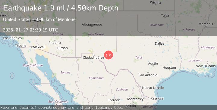
A 1.9 magnitude earthquake struck on 54 km NW of Toyah, Texas, at Tue, 27 Jan 2026 03:39:19 GMT. Depth: 4.4991km. Reviewed by USGS seismologists, this minor quake occurred at a magnitude type of ml.
Magnitude
1.9
ml
Source
USGS
Intensity
-
Agency Reports
1 Sources| Source | Magnitude | Depth | Time |
|---|---|---|---|
| USGSPrimary | 1.9 | 4 km | 10 hours ago |
Earthquake Details
AutomaticEvent IDusgs_tx2026bwacii
Tsunami PotentialNo
Magnitude Typeml
Nearest Places
- Rustler Spring0.4 km
- Cedar Pasture Draw3.1 km
- Monument Windmill3.8 km
- Kohen Windmill5.0 km
- Rustler Hills5.4 km
Comments
Join the discussion about this event.
Latest Earthquakes
1.4Mag
41 km NW of Toyah, Texas
Time4 minutes ago
Depth2.74 km
SourceUSGS (Automatic)
2.0Mag
Sumbawa Region, Indonesia
Time9 minutes ago
Depth107.77 km
SourceBMKG (Automatic)
1.7Mag
26 km WNW of Ludlow, CA
Time13 minutes ago
Depth1.36 km
SourceUSGS (Automatic)
3.1Mag
HAITI REGION
Time16 minutes ago
Depth7.00 km
SourceAYIT (Automatic)
2.6Mag
PUERTO RICO
Time21 minutes ago
Depth16.10 km
SourcePR (Automatic)
Nearby Earthquakes
1.8Mag
55 km NW of Toyah, Texas
Time4 days ago
Depth4.58 km
SourceUSGS (Automatic)
3.5Mag
55 km SSE of Whites City, New Mexico
Time2 days ago
Depth5.03 km
SourceUSGS (Automatic)
1.7Mag
53 km W of Mentone, Texas
Time3 days ago
Depth4.42 km
SourceUSGS (Automatic)
1.7Mag
55 km S of Whites City, New Mexico
Time3 days ago
Depth4.15 km
SourceUSGS (Automatic)
1.6Mag
50 km SSE of Whites City, New Mexico
Time4 days ago
Depth4.04 km
SourceUSGS (Automatic)