Earthquake 23 km SW of Snyder, Texas
Wed, 28 Jan 2026 10:35:22 GMT
Time1 hour ago
Location
32.5660, -101.0880
Depth
2.7 KM
Event Summary
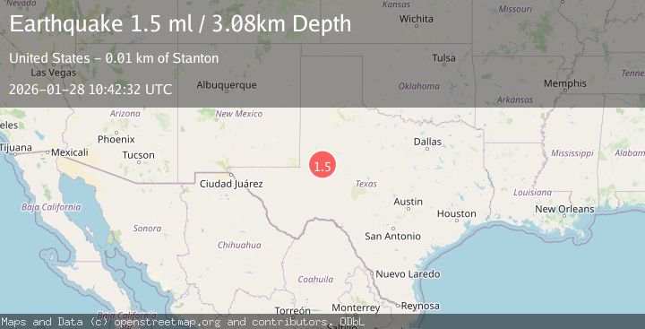
A 1.5 magnitude earthquake struck on 23 km SW of Snyder, Texas, at Wed, 28 Jan 2026 10:35:22 GMT. Depth: 2.6899km. Reviewed by USGS seismologists, this minor quake occurred at a magnitude type of ml.
Magnitude
1.5
ml
Source
USGS
Intensity
-
Agency Reports
1 Sources| Source | Magnitude | Depth | Time |
|---|---|---|---|
| USGSPrimary | 1.5 | 3 km | 1 hour ago |
Earthquake Details
AutomaticEvent IDusgs_tx2026byjrhx
Tsunami PotentialNo
Magnitude Typeml
Nearest Places
- Bull Creek2.0 km
- Bluff Creek3.1 km
- Bluff Creek Cemetery3.9 km
- Lake J B Thomas Dam4.8 km
- Dunn Lake6.2 km
Comments
Join the discussion about this event.
Latest Earthquakes
2.6Mag
ISLAND OF HAWAII, HAWAII
Time14 minutes ago
Depth39.60 km
SourceHV (Automatic)
3.1Mag
HOKKAIDO, JAPAN REGION
Time16 minutes ago
Depth0.00 km
SourceJMA (Automatic)
0.8Mag
80 km NNW of Karluk, Alaska
Time34 minutes ago
Depth5.00 km
SourceUSGS (Automatic)
1.1Mag
EASTERN TURKEY
Time41 minutes ago
Depth7.00 km
SourceAFAD (Automatic)
1.2Mag
112 km S of McCarthy, Alaska
Time44 minutes ago
Depth18.20 km
SourceUSGS (Automatic)
Nearby Earthquakes
1.7Mag
23 km SW of Snyder, Texas
Time2 days ago
Depth2.60 km
SourceUSGS (Automatic)
1.8Mag
23 km SW of Snyder, Texas
Time10 hours ago
Depth2.05 km
SourceUSGS (Automatic)
4.3Mag
WESTERN TEXAS
Time2 days ago
Depth6.50 km
SourceTX (Automatic)
0.9Mag
23 km SW of Snyder, Texas
Time1 day ago
Depth3.41 km
SourceUSGS (Automatic)
1.2Mag
24 km SW of Snyder, Texas
Time1 day ago
Depth3.17 km
SourceUSGS (Automatic)