Earthquake 112 km S of McCarthy, Alaska
Wed, 28 Jan 2026 11:33:40 GMT
Time2 hours ago
Location
60.4360, -143.2490
Depth
18.2 KM
Event Summary
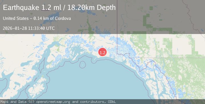
A 1.2 magnitude earthquake struck on 112 km S of McCarthy, Alaska, at Wed, 28 Jan 2026 11:33:40 GMT. Depth: 18.2km. Reviewed by USGS seismologists, this minor quake occurred at a magnitude type of ml.
Magnitude
1.2
ml
Source
USGS
Intensity
-
Agency Reports
1 Sources| Source | Magnitude | Depth | Time |
|---|---|---|---|
| USGSPrimary | 1.2 | 18 km | 2 hours ago |
Earthquake Details
AutomaticEvent IDusgs_ak2026bylpnm
Tsunami PotentialNo
Magnitude Typeml
Nearest Places
- Yushin Glacier1.7 km
- Waxell Glacier3.4 km
- Hohlinsock Lake5.0 km
- Griddlecake Glacier8.5 km
- Hesselberg Glacier11.6 km
Comments
Join the discussion about this event.
Latest Earthquakes
2.3Mag
34 km NW of Beluga, Alaska
Time7 minutes ago
Depth83.70 km
SourceUSGS (Automatic)
3.4Mag
NEGROS- CEBU REG, PHILIPPINES
Time9 minutes ago
Depth10.00 km
SourcePIVS (Automatic)
3.3Mag
MORO GULF, MINDANAO, PHILIPPINES
Time12 minutes ago
Depth6.00 km
SourcePIVS (Automatic)
2.8Mag
Northern Molucca Sea
Time15 minutes ago
Depth6.77 km
SourceBMKG (Automatic)
3.1Mag
Timor Region
Time20 minutes ago
Depth6.99 km
SourceBMKG (Automatic)
Nearby Earthquakes
1.8Mag
113 km S of McCarthy, Alaska
Time1 day ago
Depth12.10 km
SourceUSGS (Automatic)
1.1Mag
112 km E of Cordova, Alaska
Time4 days ago
Depth13.00 km
SourceUSGS (Automatic)
1.1Mag
86 km SSW of McCarthy, Alaska
Time2 days ago
Depth5.00 km
SourceUSGS (Automatic)
0.7Mag
100 km SSE of McCarthy, Alaska
Time5 days ago
Depth37.40 km
SourceUSGS (Automatic)
2.8Mag
47 km E of Cordova, Alaska
Time1 week ago
Depth16.90 km
SourceUSGS (Automatic)