Earthquake WESTERN TEXAS
Mon, 26 Jan 2026 10:22:37 GMT
Time22 hours ago
Location
32.5630, -101.0950
Depth
6.5 KM
Event Summary
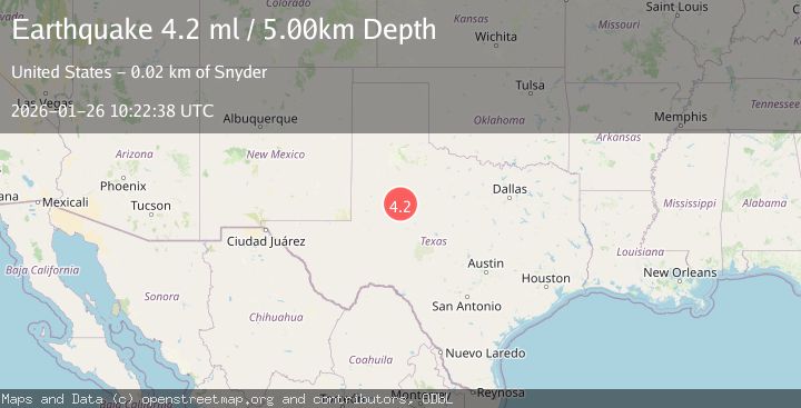
A 4.3 magnitude earthquake struck on WESTERN TEXAS, at Mon, 26 Jan 2026 10:22:37 GMT. Depth: 6.5km. Reviewed by TX seismologists, this light quake occurred at a magnitude type of ml.
Magnitude
4.3
ml
Source
TX
Intensity
-
Agency Reports
1 Sources| Source | Magnitude | Depth | Time |
|---|---|---|---|
| TXPrimary | 4.3 | 7 km | 22 hours ago |
Earthquake Details
AutomaticEvent IDemsc_TX_20260126_0000177
Tsunami PotentialNo
Magnitude Typeml
Nearest Places
- Bull Creek2.2 km
- Bluff Creek3.8 km
- Lake J B Thomas Dam4.4 km
- Bluff Creek Cemetery4.7 km
- Dunn Lake5.5 km
Comments
Join the discussion about this event.
Latest Earthquakes
2.0Mag
Java, Indonesia
Time22 hours ago
Depth169.62 km
SourceBMKG (Automatic)
5.3Mag
OFF EAST COAST OF KAMCHATKA
Time22 hours ago
Depth32.00 km
SourceEMSC (Automatic)
1.3Mag
1 km NW of Danville, CA
Time22 hours ago
Depth4.39 km
SourceUSGS (Automatic)
3.0Mag
Seram, Indonesia
Time22 hours ago
Depth4.69 km
SourceBMKG (Automatic)
4.3Mag
Mindanao, Philippines
Time22 hours ago
Depth116.84 km
SourceBMKG (Automatic)
Nearby Earthquakes
1.2Mag
4 km SE of Big Spring, Texas
Time4 days ago
Depth3.06 km
SourceUSGS (Automatic)
1.7Mag
27 km S of Westbrook, Texas
Time4 days ago
Depth4.23 km
SourceUSGS (Automatic)
2.2Mag
WESTERN TEXAS
Time2 days ago
Depth2.70 km
SourceTX (Automatic)
1.9Mag
10 km S of Forsan, Texas
Time4 days ago
Depth0.90 km
SourceUSGS (Automatic)
1.3Mag
3 km NNW of Garden City, Texas
Time1 day ago
Depth1.26 km
SourceUSGS (Automatic)