Earthquake 23 km SW of Snyder, Texas
Wed, 28 Jan 2026 12:18:52 GMT
Time3 hours ago
Location
32.5610, -101.0850
Depth
2.7 KM
Event Summary
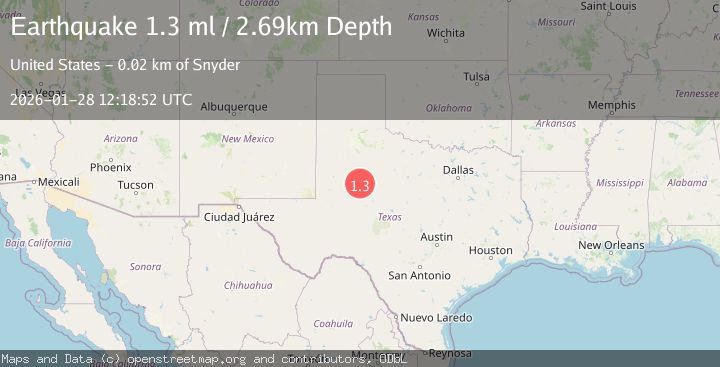
A 1.3 magnitude earthquake struck on 23 km SW of Snyder, Texas, at Wed, 28 Jan 2026 12:18:52 GMT. Depth: 2.6925km. Reviewed by USGS seismologists, this minor quake occurred at a magnitude type of ml.
Magnitude
1.3
ml
Source
USGS
Intensity
-
Agency Reports
1 Sources| Source | Magnitude | Depth | Time |
|---|---|---|---|
| USGSPrimary | 1.3 | 3 km | 3 hours ago |
Earthquake Details
AutomaticEvent IDusgs_tx2026byncjb
Tsunami PotentialNo
Magnitude Typeml
Nearest Places
- Bull Creek2.6 km
- Bluff Creek3.0 km
- Bluff Creek Cemetery4.1 km
- Lake J B Thomas Dam5.3 km
- Dunn Lake6.0 km
Comments
Join the discussion about this event.
Latest Earthquakes
2.1Mag
33 km ENE of Susitna North, Alaska
Time2 minutes ago
Depth28.70 km
SourceUSGS (Automatic)
3.7Mag
Sumbawa Region, Indonesia
Time7 minutes ago
Depth150.89 km
SourceBMKG (Automatic)
0.8Mag
NORTHERN ITALY
Time9 minutes ago
Depth2.00 km
SourceOGS (Automatic)
1.7Mag
16 km NW of Parkfield, CA
Time10 minutes ago
Depth1.32 km
SourceUSGS (Automatic)
2.6Mag
Sulawesi, Indonesia
Time13 minutes ago
Depth3.01 km
SourceBMKG (Automatic)
Nearby Earthquakes
0.9Mag
23 km SW of Snyder, Texas
Time1 day ago
Depth3.41 km
SourceUSGS (Automatic)
1.8Mag
23 km SW of Snyder, Texas
Time13 hours ago
Depth2.05 km
SourceUSGS (Automatic)
1.7Mag
23 km SW of Snyder, Texas
Time2 days ago
Depth2.60 km
SourceUSGS (Automatic)
1.5Mag
23 km SW of Snyder, Texas
Time4 hours ago
Depth2.69 km
SourceUSGS (Automatic)
4.3Mag
WESTERN TEXAS
Time2 days ago
Depth6.50 km
SourceTX (Automatic)