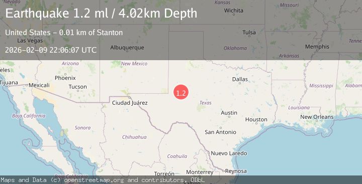
Earthquake 12 km WSW of Stanton, Texas
Mon, 09 Feb 2026 22:06:07 GMT
Time1 hour ago
Location
32.1030, -101.9220
Depth
4.0 KM
Event Summary
A 1.2 magnitude earthquake struck on 12 km WSW of Stanton, Texas, at Mon, 09 Feb 2026 22:06:07 GMT. Depth: 4.0241km. Reviewed by USGS seismologists, this minor quake occurred at a magnitude type of ml.
Magnitude
1.2
ml
Source
USGS
Intensity
-
Agency Reports
1 Sources| Source | Magnitude | Depth | Time |
|---|---|---|---|
| USGSPrimary | 1.2 | 4 km | 1 hour ago |
Earthquake Details
AutomaticEvent IDusgs_tx2026cvhhcb
Tsunami PotentialNo
Magnitude Typeml
Nearest Places
- Salt Lake3.8 km
- Germania4.6 km
- Mustang Spring4.7 km
- Courtney5.1 km
- Dix5.3 km
Comments
Join the discussion about this event.
Latest Earthquakes
0.9Mag
16 km NW of Toms Place, CA
Time20 minutes ago
Depth4.08 km
SourceUSGS (Automatic)
1.6Mag
16 km E of Stanton, Texas
Time27 minutes ago
Depth3.74 km
SourceUSGS (Automatic)
3.1Mag
PHILIPPINE ISLANDS REGION
Time34 minutes ago
Depth3.00 km
SourcePIVS (Automatic)
1.5Mag
SWITZERLAND
Time37 minutes ago
Depth20.70 km
SourceETHZ (Automatic)
3.7Mag
Banda Sea
Time39 minutes ago
Depth132.11 km
SourceBMKG (Automatic)
Nearby Earthquakes
1.2Mag
13 km WSW of Stanton, Texas
Time2 weeks ago
Depth3.46 km
SourceUSGS (Automatic)
1.1Mag
13 km WSW of Stanton, Texas
Time1 week ago
Depth4.25 km
SourceUSGS (Automatic)
2.7Mag
12 km W of Stanton, Texas
Time1 week ago
Depth4.05 km
SourceUSGS (Automatic)
1.2Mag
13 km WSW of Stanton, Texas
Time1 week ago
Depth4.38 km
SourceUSGS (Automatic)
2.0Mag
WESTERN TEXAS
Time5 hours ago
Depth3.60 km
SourceTX (Automatic)