Earthquake 17 km ESE of Stanton, Texas
Mon, 09 Feb 2026 03:14:25 GMT
Time1 hour ago
Location
32.0990, -101.6110
Depth
2.2 KM
Event Summary
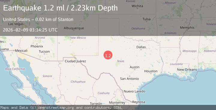
A 1.2 magnitude earthquake struck on 17 km ESE of Stanton, Texas, at Mon, 09 Feb 2026 03:14:25 GMT. Depth: 2.2307km. Reviewed by USGS seismologists, this minor quake occurred at a magnitude type of ml.
Magnitude
1.2
ml
Source
USGS
Intensity
-
Agency Reports
1 Sources| Source | Magnitude | Depth | Time |
|---|---|---|---|
| USGSPrimary | 1.2 | 2 km | 1 hour ago |
Earthquake Details
AutomaticEvent IDusgs_tx2026ctvtwq
Tsunami PotentialNo
Magnitude Typeml
Nearest Places
- Windmill Number Three1.6 km
- Hall Ranch3.1 km
- Lomax3.4 km
- Windmill Number Two4.0 km
- Roberts Lake4.4 km
Comments
Join the discussion about this event.
Latest Earthquakes
2.6Mag
CRETE, GREECE
Time9 minutes ago
Depth13.70 km
SourceNOA (Automatic)
1.5Mag
35 km SE of Mina, Nevada
Time12 minutes ago
Depth4.34 km
SourceUSGS (Automatic)
1.4Mag
11 km SSW of Valencia, CA
Time13 minutes ago
Depth11.07 km
SourceUSGS (Automatic)
1.5Mag
23 km SW of Snyder, Texas
Time15 minutes ago
Depth2.48 km
SourceUSGS (Automatic)
1.5Mag
49 km WNW of Salamatof, Alaska
Time27 minutes ago
Depth93.40 km
SourceUSGS (Automatic)
Nearby Earthquakes
2.3Mag
WESTERN TEXAS
Time14 hours ago
Depth3.80 km
SourceTX (Automatic)
1.5Mag
11 km W of Forsan, Texas
Time1 week ago
Depth2.97 km
SourceUSGS (Automatic)
1.1Mag
9 km ENE of Stanton, Texas
Time1 week ago
Depth3.75 km
SourceUSGS (Automatic)
1.5Mag
11 km W of Forsan, Texas
Time1 week ago
Depth3.53 km
SourceUSGS (Automatic)
1.4Mag
11 km WSW of Forsan, Texas
Time1 week ago
Depth4.37 km
SourceUSGS (Automatic)