Earthquake 40 km WNW of Toyah, Texas
Tue, 10 Feb 2026 23:41:50 GMT
Time1 week ago
Location
31.4950, -104.1680
Depth
2.7 KM
Event Summary
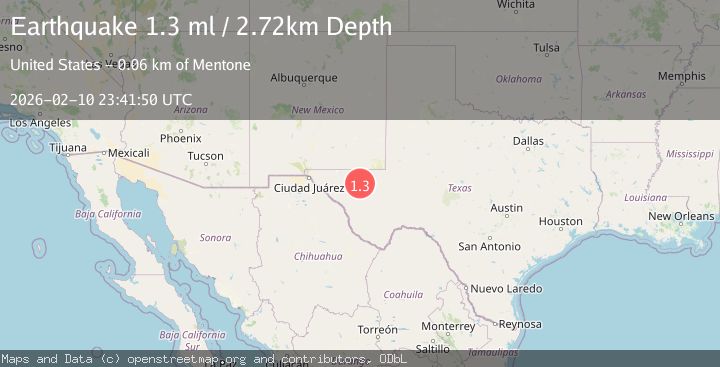
A 1.3 magnitude earthquake struck on 40 km WNW of Toyah, Texas, at Tue, 10 Feb 2026 23:41:50 GMT. Depth: 2.717km. Reviewed by USGS seismologists, this minor quake occurred at a magnitude type of ml.
Magnitude
1.3
ml
Source
USGS
Intensity
-
Agency Reports
1 Sources| Source | Magnitude | Depth | Time |
|---|---|---|---|
| USGSPrimary | 1.3 | 3 km | 1 week ago |
Earthquake Details
AutomaticEvent IDusgs_tx2026cxgeik
Tsunami PotentialNo
Magnitude Typeml
Nearest Places
- Gulf Windmill0.5 km
- Big Canyon Draw2.0 km
- Two Mill Draw2.8 km
- Brooks Ranch2.9 km
- Little Sulphur Windmill3.0 km
Comments
Join the discussion about this event.
Latest Earthquakes
0.9Mag
8 km W of Cobb, CA
Time2 hours ago
Depth1.53 km
SourceUSGS (Automatic)
1.8Mag
Central Alaska
Time2 hours ago
Depth2.08 km
SourceVYT (Automatic)
2.9Mag
WESTERN TURKEY
Time2 hours ago
Depth11.80 km
SourceKOERI (Automatic)
2.8Mag
Sulawesi, Indonesia
Time2 hours ago
Depth21.08 km
SourceBMKG
4.0Mag
NEAR COAST OF NICARAGUA
Time2 hours ago
Depth33.00 km
SourceINET (Automatic)
Nearby Earthquakes
2.3Mag
western Texas
Time2 days ago
Depth22.95 km
SourceVYT (Automatic)
1.5Mag
40 km WNW of Toyah, Texas
Time3 weeks ago
Depth4.04 km
SourceUSGS (Automatic)
3.0Mag
WESTERN TEXAS
Time1 year ago
Depth6.70 km
SourceNEIC (Automatic)
1.1Mag
41 km NW of Toyah, Texas
Time15 hours ago
Depth3.44 km
SourceUSGS (Automatic)
1.4Mag
41 km NW of Toyah, Texas
Time3 weeks ago
Depth2.74 km
SourceUSGS (Automatic)