Earthquake 16 km ENE of Falls City, Texas
Wed, 11 Feb 2026 15:40:52 GMT
Time6 days ago
Location
29.0400, -97.8660
Depth
9.0 KM
Event Summary
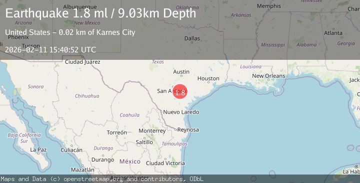
A 1.8 magnitude earthquake struck on 16 km ENE of Falls City, Texas, at Wed, 11 Feb 2026 15:40:52 GMT. Depth: 9.0283km. Reviewed by USGS seismologists, this minor quake occurred at a magnitude type of ml.
Magnitude
1.8
ml
Source
USGS
Intensity
-
Agency Reports
1 Sources| Source | Magnitude | Depth | Time |
|---|---|---|---|
| USGSPrimary | 1.8 | 9 km | 6 days ago |
Earthquake Details
AutomaticEvent IDusgs_tx2026cylyro
Tsunami PotentialNo
Magnitude Typeml
Nearest Places
- Person Oil Field2.5 km
- Cooper Creek3.3 km
- Pawelek Lake Number 2 Dam3.4 km
- Pawelek Lake Number 23.5 km
- Pawelek Lake Number 1 Dam3.6 km
Comments
Join the discussion about this event.
Latest Earthquakes
1.3Mag
10 km WNW of Salcha, Alaska
Time19 hours ago
Depth5.00 km
SourceUSGS (Automatic)
1.3Mag
34 km WSW of Ackerly, Texas
Time19 hours ago
Depth3.87 km
SourceUSGS (Automatic)
1.2Mag
8 km SW of Morongo Valley, CA
Time19 hours ago
Depth15.22 km
SourceUSGS (Automatic)
2.4Mag
Northern Sumatra, Indonesia
Time19 hours ago
Depth7.72 km
SourceBMKG
2.3Mag
Tarapaca, Chile
Time19 hours ago
Depth61.65 km
SourceVYT (Automatic)
Nearby Earthquakes
1.6Mag
15 km ENE of Falls City, Texas
Time2 weeks ago
Depth7.85 km
SourceUSGS (Automatic)
1.8Mag
15 km ENE of Falls City, Texas
Time1 week ago
Depth6.56 km
SourceUSGS (Automatic)
1.7Mag
15 km ENE of Falls City, Texas
Time1 week ago
Depth9.15 km
SourceUSGS (Automatic)
2.5Mag
SOUTHERN TEXAS
Time1 week ago
Depth5.00 km
SourceNEIC (Automatic)
1.5Mag
15 km ENE of Falls City, Texas
Time1 week ago
Depth10.62 km
SourceUSGS (Automatic)