Earthquake 32 km NW of Toyah, Texas
Thu, 12 Feb 2026 12:20:46 GMT
Time6 days ago
Location
31.5120, -104.0400
Depth
3.5 KM
Event Summary
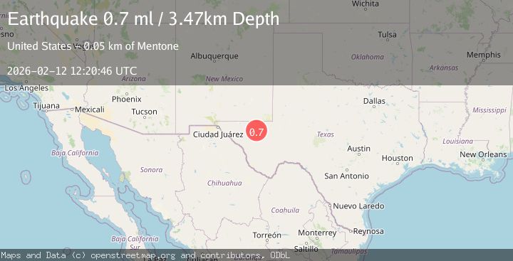
A 0.7 magnitude earthquake struck on 32 km NW of Toyah, Texas, at Thu, 12 Feb 2026 12:20:46 GMT. Depth: 3.471km. Reviewed by USGS seismologists, this minor quake occurred at a magnitude type of ml.
Magnitude
0.7
ml
Source
USGS
Intensity
-
Agency Reports
1 Sources| Source | Magnitude | Depth | Time |
|---|---|---|---|
| USGSPrimary | 0.7 | 3 km | 6 days ago |
Earthquake Details
AutomaticEvent IDusgs_tx2026dabbfg
Tsunami PotentialNo
Magnitude Typeml
Nearest Places
- Juan Windmill0.7 km
- Dutch Draw3.8 km
- Dry Lake4.9 km
- The Seep7.9 km
- Oil Well Windmill8.4 km
Comments
Join the discussion about this event.
Latest Earthquakes
2.8Mag
Antofagasta, Chile
Time6 minutes ago
Depth0.00 km
SourceVYT (Automatic)
3.3Mag
Near North Coast of West Papua
Time7 minutes ago
Depth10.00 km
SourceBMKG
2.5Mag
off the coast of Tarapaca, Chile
Time8 minutes ago
Depth0.00 km
SourceVYT (Automatic)
2.6Mag
Sunda Strait, Indonesia
Time9 minutes ago
Depth8.74 km
SourceBMKG
2.8Mag
Ceram Sea
Time10 minutes ago
Depth5.46 km
SourceBMKG
Nearby Earthquakes
1.5Mag
32 km NW of Toyah, Texas
Time5 days ago
Depth2.79 km
SourceUSGS (Automatic)
3.0Mag
WESTERN TEXAS
Time4 months ago
Depth7.10 km
SourceTX (Automatic)
2.1Mag
WESTERN TEXAS
Time1 month ago
Depth7.30 km
SourceTX (Automatic)
1.6Mag
31 km NW of Toyah, Texas
Time2 weeks ago
Depth4.47 km
SourceUSGS (Automatic)
1.9Mag
32 km NW of Toyah, Texas
Time5 hours ago
Depth4.09 km
SourceUSGS (Automatic)