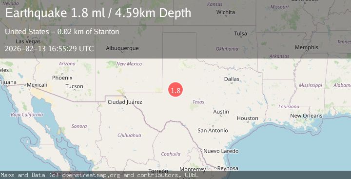
Earthquake 16 km NNW of Stanton, Texas
Fri, 13 Feb 2026 16:55:29 GMT
Time1 week ago
Location
32.2720, -101.8430
Depth
4.6 KM
Event Summary
A 1.8 magnitude earthquake struck on 16 km NNW of Stanton, Texas, at Fri, 13 Feb 2026 16:55:29 GMT. Depth: 4.5923km. Reviewed by USGS seismologists, this minor quake occurred at a magnitude type of ml.
Magnitude
1.8
ml
Source
USGS
Intensity
-
Agency Reports
1 Sources| Source | Magnitude | Depth | Time |
|---|---|---|---|
| USGSPrimary | 1.8 | 5 km | 1 week ago |
Earthquake Details
AutomaticEvent IDusgs_tx2026dcfutu
Tsunami PotentialNo
Magnitude Typeml
Nearest Places
- 4.7 km
- 4.8 km
- 5.4 km
- 5.7 km
- 9.0 km
Comments
Join the discussion about this event.
Latest Earthquakes
2.6Mag
Southern Alaska
Time8 minutes ago
Depth42.60 km
SourceVYT (Automatic)
2.8Mag
south of Java, Indonesia
Time9 minutes ago
Depth0.00 km
SourceVYT (Automatic)
2.9Mag
southern Sumatra, Indonesia
Time13 minutes ago
Depth32.71 km
SourceVYT (Automatic)
3.1Mag
Halmahera, Indonesia
Time14 minutes ago
Depth9.55 km
SourceBMKG
2.1Mag
Flores Sea
Time18 minutes ago
Depth31.91 km
SourceBMKG
Nearby Earthquakes
1.4Mag
14 km NNW of Stanton, Texas
Time2 hours ago
Depth3.64 km
SourceUSGS (Automatic)
1.7Mag
20 km NNW of Stanton, Texas
Time2 weeks ago
Depth4.44 km
SourceUSGS (Automatic)
3.0Mag
WESTERN TEXAS
Time1 year ago
Depth2.60 km
SourceNEIC (Automatic)
3.0Mag
WESTERN TEXAS
Time4 years ago
Depth5.00 km
SourceNEIC (Automatic)
4.0Mag
WESTERN TEXAS
Time2 years ago
Depth2.10 km
SourceNEIC (Automatic)