Earthquake 48 km WNW of Toyah, Texas
Tue, 17 Feb 2026 06:40:14 GMT
Time1 day ago
Location
31.5050, -104.2500
Depth
0.0 KM
Event Summary
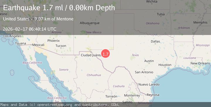
A 1.7 magnitude earthquake struck on 48 km WNW of Toyah, Texas, at Tue, 17 Feb 2026 06:40:14 GMT. Depth: 0km. Reviewed by USGS seismologists, this minor quake occurred at a magnitude type of ml.
Magnitude
1.7
ml
Source
USGS
Intensity
-
Agency Reports
1 Sources| Source | Magnitude | Depth | Time |
|---|---|---|---|
| USGSPrimary | 1.7 | 0 km | 1 day ago |
Earthquake Details
AutomaticEvent IDusgs_tx2026diukdv
Tsunami PotentialNo
Magnitude Typeml
Nearest Places
- West Windmill3.5 km
- Dellahunt Draw4.9 km
- Old Christian Place4.9 km
- Humphrey Windmill6.0 km
- Orchard Windmill6.1 km
Comments
Join the discussion about this event.
Latest Earthquakes
1.8Mag
Poland
Time15 hours ago
Depth4.27 km
SourceVYT (Automatic)
1.6Mag
58 km WNW of Toyah, Texas
Time15 hours ago
Depth0.00 km
SourceUSGS (Automatic)
2.7Mag
Java, Indonesia
Time15 hours ago
Depth25.84 km
SourceBMKG
2.6Mag
Sumbawa region, Indonesia
Time15 hours ago
Depth155.40 km
SourceVYT (Automatic)
2.3Mag
near the coast of Tarapaca, Chile
Time15 hours ago
Depth20.02 km
SourceVYT (Automatic)
Nearby Earthquakes
1.4Mag
47 km WNW of Toyah, Texas
Time5 days ago
Depth1.38 km
SourceUSGS (Automatic)
2.0Mag
WESTERN TEXAS
Time1 month ago
Depth0.00 km
SourceTX (Automatic)
1.3Mag
40 km WNW of Toyah, Texas
Time1 week ago
Depth2.72 km
SourceUSGS (Automatic)
2.3Mag
western Texas
Time2 days ago
Depth22.95 km
SourceVYT (Automatic)
3.0Mag
WESTERN TEXAS
Time5 years ago
Depth5.00 km
SourceNEIC (Automatic)