Earthquake 35 km NW of Stanton, Texas
Wed, 04 Mar 2026 16:40:14 GMT
Time1 hour ago
Location
32.3450, -102.0690
Depth
7.8 KM
Event Summary
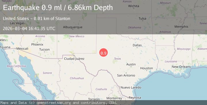
A 1.2 magnitude earthquake struck on 35 km NW of Stanton, Texas, at Wed, 04 Mar 2026 16:40:14 GMT. Depth: 7.7888km. Reviewed by USGS seismologists, this minor quake occurred at a magnitude type of ml.
Magnitude
1.2
ml
Source
USGS
Intensity
-
Agency Reports
1 Sources| Source | Magnitude | Depth | Time |
|---|---|---|---|
| USGSPrimary | 1.2 | 8 km | 1 hour ago |
Earthquake Details
AutomaticEvent IDusgs_tx2026elcenc
Tsunami PotentialNo
Magnitude Typeml
Nearest Places
- 3.9 km
- 5.0 km
- 5.5 km
- 5.5 km
- 6.8 km
Comments
Join the discussion about this event.
Latest Earthquakes
3.0Mag
Northern Molucca Sea
Time1 hour ago
Depth36.79 km
SourceBMKG
2.3Mag
Sumba Region, Indonesia
Time1 hour ago
Depth84.76 km
SourceBMKG
3.4Mag
Banda Sea
Time1 hour ago
Depth142.94 km
SourceVYT (Automatic)
3.4Mag
Seram, Indonesia
Time1 hour ago
Depth36.13 km
SourceVYT (Automatic)
3.1Mag
Antofagasta, Chile
Time1 hour ago
Depth148.19 km
SourceVYT (Automatic)
Nearby Earthquakes
1.2Mag
35 km NW of Stanton, Texas
Time6 days ago
Depth13.91 km
SourceUSGS (Automatic)
1.7Mag
western Texas
Time2 weeks ago
Depth0.98 km
SourceVYT (Automatic)
1.3Mag
36 km NW of Stanton, Texas
Time1 month ago
Depth3.71 km
SourceUSGS (Automatic)
1.9Mag
36 km NW of Stanton, Texas
Time3 weeks ago
Depth5.52 km
SourceUSGS (Automatic)
1.3Mag
37 km NW of Stanton, Texas
Time1 month ago
Depth8.80 km
SourceUSGS (Automatic)