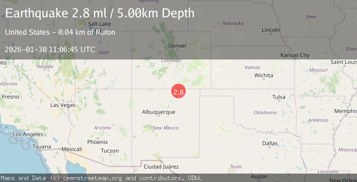
Earthquake 29 km S of Weston, Colorado
Fri, 30 Jan 2026 11:06:45 GMT
Time2 weeks ago
Location
36.8652, -104.8552
Depth
5.0 KM
Event Summary
A 2.8 magnitude earthquake struck on 29 km S of Weston, Colorado, at Fri, 30 Jan 2026 11:06:45 GMT. Depth: 5km. Reviewed by USGS seismologists, this minor quake occurred at a magnitude type of ml.
Magnitude
2.8
ml
Source
USGS
Intensity
-
Agency Reports
2 Sources| Source | Magnitude | Depth | Time |
|---|---|---|---|
| USGSPrimary | 2.8 | 5 km | 2 weeks ago |
| NEIC | 2.6 | 5 km | 2 weeks ago |
Earthquake Details
ConfirmedEvent IDusgs_us6000s5fh
Tsunami PotentialNo
Magnitude Typeml
Nearest Places
- West Fork Chimney Canyon3.5 km
- East Fork Chimney Canyon3.5 km
- Hells Canyon4.0 km
- York Canyon Number 14.7 km
- Frankies Canyon5.5 km
Comments
Join the discussion about this event.
Latest Earthquakes
2.6Mag
Java, Indonesia
Time11 minutes ago
Depth214.22 km
SourceBMKG
1.0Mag
Southeastern Alaska
Time12 minutes ago
Depth0.00 km
SourceVYT (Automatic)
3.5Mag
COOK STRAIT, NEW ZEALAND
Time13 minutes ago
Depth75.30 km
SourceGNS (Automatic)
2.5Mag
Seram, Indonesia
Time14 minutes ago
Depth21.28 km
SourceBMKG
2.6Mag
West Papua Region, Indonesia
Time17 minutes ago
Depth17.35 km
SourceBMKG
Nearby Earthquakes
2.0Mag
NEW MEXICO
Time1 month ago
Depth5.00 km
SourceNEIC (Automatic)
2.8Mag
NEW MEXICO
Time3 weeks ago
Depth5.00 km
SourceNEIC (Automatic)
3.0Mag
NEW MEXICO
Time5 months ago
Depth5.30 km
SourceNEIC (Automatic)
3.9Mag
NEW MEXICO
Time2 weeks ago
Depth8.80 km
SourceNEIC (Automatic)
5.1Mag
NEW MEXICO
Time20 years ago
Depth2.00 km
SourceEMSC (Automatic)