Earthquake 109 km N of Yakutat, Alaska
Thu, 01 Jan 2026 12:00:36 GMT
Time2 hours ago
Location
60.5137, -140.0329
Depth
5.0 KM
Event Summary
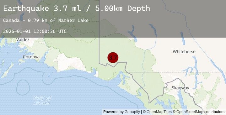
A 3.7 magnitude earthquake struck on 109 km N of Yakutat, Alaska, at Thu, 01 Jan 2026 12:00:36 GMT. Depth: 5km. Reviewed by USGS seismologists, this minor quake occurred at a magnitude type of ml.
Magnitude
3.7
ml
Source
USGS
Intensity
-
Earthquake Details
ConfirmedEvent IDusgs_us7000rlwk
Tsunami PotentialNo
Magnitude Typeml
Nearest Places
- Marker Lake2.5 km
- Mount King George13.6 km
- McArthur Peak14.3 km
- Mount Queen Mary21.1 km
- Mount Logan21.2 km
Comments
Join the discussion about this event.
Latest Earthquakes
1.5Mag
6 km WNW of Cobb, CA
Time18 minutes ago
Depth1.62 km
SourceUSGS (Automatic)
3.5Mag
WESTERN TURKEY
Time30 minutes ago
Depth23.90 km
SourceEMSC (Automatic)
2.7Mag
Seram, Indonesia
Time31 minutes ago
Depth8.80 km
SourceBMKG (Automatic)
2.5Mag
SERAM, INDONESIA
Time31 minutes ago
Depth13.00 km
SourceEMSC (Automatic)
4.6Mag
BIO-BIO, CHILE
Time37 minutes ago
Depth26.70 km
SourceEMSC (Automatic)
Nearby Earthquakes
3.8Mag
SOUTHERN YUKON TERRITORY, CANADA
Time1 hour ago
Depth1.90 km
SourceEMSC (Automatic)
3.8Mag
101 km N of Yakutat, Alaska
Time1 hour ago
Depth1.90 km
SourceUSGS
3.7Mag
111 km N of Yakutat, Alaska
Time1 hour ago
Depth5.00 km
SourceUSGS
3.7Mag
SOUTHERN YUKON TERRITORY, CANADA
Time2 hours ago
Depth5.00 km
SourceEMSC (Automatic)
2.9Mag
111 km N of Yakutat, Alaska
Time2 hours ago
Depth5.00 km
SourceUSGS