Earthquake 111 km N of Yakutat, Alaska
Thu, 01 Jan 2026 12:52:16 GMT
Time2 hours ago
Location
60.5368, -139.9842
Depth
5.0 KM
Event Summary
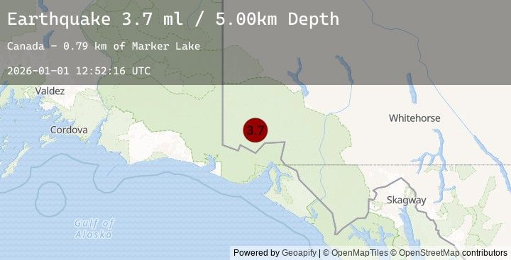
A 3.7 magnitude earthquake struck on 111 km N of Yakutat, Alaska, at Thu, 01 Jan 2026 12:52:16 GMT. Depth: 5km. Reviewed by USGS seismologists, this minor quake occurred at a magnitude type of ml.
Magnitude
3.7
ml
Source
USGS
Intensity
-
Earthquake Details
ConfirmedEvent IDusgs_us7000rlwz
Tsunami PotentialNo
Magnitude Typeml
Nearest Places
- Marker Lake2.7 km
- Mount King George10.8 km
- McArthur Peak14.7 km
- Mount Queen Mary17.4 km
- Mount Logan23.3 km
Comments
Join the discussion about this event.
Latest Earthquakes
3.8Mag
PANAMA-COSTA RICA BORDER REGION
Time8 minutes ago
Depth12.00 km
SourceEMSC (Automatic)
2.3Mag
10 km W of Susitna North, Alaska
Time10 minutes ago
Depth0.30 km
SourceUSGS (Automatic)
0.7Mag
23 km ESE of Ridgecrest, CA
Time21 minutes ago
Depth0.79 km
SourceUSGS (Automatic)
2.2Mag
30 km NNE of Karluk, Alaska
Time28 minutes ago
Depth56.60 km
SourceUSGS (Automatic)
1.8Mag
7 km NNW of Big Bear Lake, CA
Time31 minutes ago
Depth1.09 km
SourceUSGS (Automatic)
Nearby Earthquakes
3.8Mag
SOUTHERN YUKON TERRITORY, CANADA
Time2 hours ago
Depth1.90 km
SourceEMSC (Automatic)
3.8Mag
101 km N of Yakutat, Alaska
Time2 hours ago
Depth1.90 km
SourceUSGS
3.7Mag
109 km N of Yakutat, Alaska
Time3 hours ago
Depth5.00 km
SourceUSGS
3.7Mag
SOUTHERN YUKON TERRITORY, CANADA
Time3 hours ago
Depth5.00 km
SourceEMSC (Automatic)
2.9Mag
111 km N of Yakutat, Alaska
Time4 hours ago
Depth5.00 km
SourceUSGS