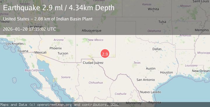
Earthquake 34 km W of Carlsbad, New Mexico
Tue, 20 Jan 2026 17:15:02 GMT
Time1 week ago
Location
32.4792, -104.5910
Depth
4.3 KM
Event Summary
A 2.9 magnitude earthquake struck on 34 km W of Carlsbad, New Mexico, at Tue, 20 Jan 2026 17:15:02 GMT. Depth: 4.336km. Reviewed by USGS seismologists, this minor quake occurred at a magnitude type of ml.
Magnitude
2.9
ml
Source
USGS
Intensity
-
Agency Reports
1 Sources| Source | Magnitude | Depth | Time |
|---|---|---|---|
| USGSPrimary | 2.9 | 4 km | 1 week ago |
Earthquake Details
ConfirmedEvent IDusgs_us7000rqv9
Tsunami PotentialNo
Magnitude Typeml
Nearest Places
- Indian Basin Plant2.1 km
- Lee Ranch2.6 km
- Indian Basin2.7 km
- Bone Tank Draw3.2 km
- Martha Creek4.5 km
Comments
Join the discussion about this event.
Latest Earthquakes
3.4Mag
Northern Sumatra, Indonesia
Time2 minutes ago
Depth67.65 km
SourceBMKG (Automatic)
2.6Mag
28 km WNW of Happy Valley, Alaska
Time4 minutes ago
Depth76.30 km
SourceUSGS (Automatic)
2.3Mag
FRANCE
Time9 minutes ago
Depth5.00 km
SourceReNaSS (Automatic)
4.1Mag
North of Halmahera, Indonesia
Time11 minutes ago
Depth5.50 km
SourceBMKG (Automatic)
2.7Mag
Java, Indonesia
Time12 minutes ago
Depth15.61 km
SourceBMKG (Automatic)
Nearby Earthquakes
1.8Mag
44 km SW of Whites City, New Mexico
Time4 days ago
Depth0.10 km
SourceUSGS (Automatic)
3.8Mag
WESTERN TEXAS
Time5 days ago
Depth9.60 km
SourceNEIC (Automatic)
2.4Mag
WESTERN TEXAS
Time5 days ago
Depth3.10 km
SourceTX (Automatic)
2.4Mag
WESTERN TEXAS
Time4 days ago
Depth3.60 km
SourceTX (Automatic)
2.1Mag
WESTERN TEXAS
Time4 days ago
Depth3.30 km
SourceTX (Automatic)