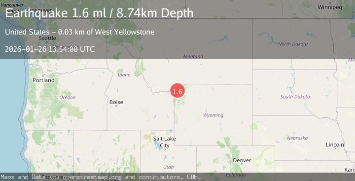
Earthquake 33 km E of West Yellowstone, Montana
Mon, 26 Jan 2026 13:53:27 GMT
Time3 days ago
Location
44.6050, -110.6895
Depth
7.6 KM
Event Summary
A 1.6 magnitude earthquake struck on 33 km E of West Yellowstone, Montana, at Mon, 26 Jan 2026 13:53:27 GMT. Depth: 7.6km. Reviewed by USGS seismologists, this minor quake occurred at a magnitude type of ml.
Magnitude
1.6
ml
Source
USGS
Intensity
-
Agency Reports
1 Sources| Source | Magnitude | Depth | Time |
|---|---|---|---|
| USGSPrimary | 1.6 | 9 km | 3 days ago |
Earthquake Details
ConfirmedEvent IDusgs_uu80128296
Tsunami PotentialNo
Magnitude Typeml
Nearest Places
- Cowan Creek1.2 km
- Spruce Creek1.9 km
- Juniper Creek3.1 km
- Mary Mountain Trail3.3 km
- Magpie Creek3.6 km
Comments
Join the discussion about this event.
Latest Earthquakes
2.6Mag
ANTOFAGASTA, CHILE
Time6 minutes ago
Depth66.10 km
SourceCSN (Automatic)
3.0Mag
NORTH ISLAND OF NEW ZEALAND
Time11 minutes ago
Depth16.90 km
SourceGNS (Automatic)
2.8Mag
SAN JUAN, ARGENTINA
Time13 minutes ago
Depth88.00 km
SourceNSNA (Automatic)
4.1Mag
SOUTHERN YUKON TERRITORY, CANADA
Time20 minutes ago
Depth0.50 km
SourceAK (Automatic)
3.1Mag
ISLAND OF HAWAII, HAWAII
Time20 minutes ago
Depth6.90 km
SourceHV (Automatic)
Nearby Earthquakes
1.7Mag
21 km SSW of Mammoth, Wyoming
Time3 hours ago
Depth25.82 km
SourceUSGS (Automatic)
4.2Mag
WESTERN MONTANA
Time3 hours ago
Depth10.00 km
SourceNEIC (Automatic)
2.6Mag
30 km NW of Stanley, Idaho
Time3 days ago
Depth10.89 km
SourceUSGS
1.2Mag
27 km SSW of Snowville, Utah
Time1 week ago
Depth5.69 km
SourceUSGS
3.0Mag
UTAH
Time1 week ago
Depth8.10 km
SourceUU (Automatic)