Earthquake WESTERN MONTANA
Thu, 29 Jan 2026 19:41:08 GMT
Time2 hours ago
Location
47.6145, -111.1294
Depth
10.0 KM
Event Summary
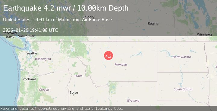
A 4.2 magnitude earthquake struck on WESTERN MONTANA, at Thu, 29 Jan 2026 19:41:08 GMT. Depth: 10km. Reviewed by NEIC seismologists, this light quake occurred at a magnitude type of mw.
Magnitude
4.2
mw
Source
NEIC
Intensity
-
Agency Reports
1 Sources| Source | Magnitude | Depth | Time |
|---|---|---|---|
| NEICPrimary | 4.2 | 10 km | 2 hours ago |
Earthquake Details
AutomaticEvent IDemsc_NEIC_20260129_0000262
Tsunami PotentialNo
Magnitude Typemw
Nearest Places
- Blackfeet Gulch1.2 km
- Goodale Post Office (historical)2.7 km
- Sheffels2.7 km
- Sheffels2.7 km
- Portage Pit (historical)2.7 km
Comments
Join the discussion about this event.
Latest Earthquakes
2.9Mag
Northern Molucca Sea
Time1 hour ago
Depth10.00 km
SourceBMKG (Automatic)
2.8Mag
21 km SSW of Mammoth, Wyoming
Time1 hour ago
Depth25.82 km
SourceUSGS (Automatic)
2.9Mag
ICELAND REGION
Time2 hours ago
Depth11.90 km
SourceIMO (Automatic)
2.4Mag
West Papua Region, Indonesia
Time2 hours ago
Depth10.00 km
SourceBMKG (Automatic)
3.0Mag
Southern Sumatra, Indonesia
Time2 hours ago
Depth23.61 km
SourceBMKG (Automatic)
Nearby Earthquakes
2.8Mag
21 km SSW of Mammoth, Wyoming
Time1 hour ago
Depth25.82 km
SourceUSGS (Automatic)
1.6Mag
33 km E of West Yellowstone, Montana
Time3 days ago
Depth7.60 km
SourceUSGS
2.6Mag
30 km NW of Stanley, Idaho
Time3 days ago
Depth10.89 km
SourceUSGS
1.2Mag
27 km SSW of Snowville, Utah
Time1 week ago
Depth5.69 km
SourceUSGS
2.2Mag
WASHINGTON
Time2 days ago
Depth5.60 km
SourceUW (Automatic)